Transport Functions
Rail
Road
Hub Profile
Place type
Populated place
Region
New Mexico
Population
186
Time zone
America/Denver
Elevation
1,329 m
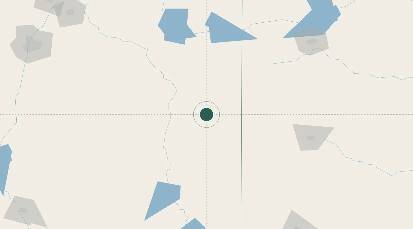
Location
Nearby Logistics Neighbours
Cities
- 1Morton86 km
- 2Dexter108 km
- 3Buchanan116 km
- 4Springlake128 km
- 5San Jon132 km
Ports
- 1Port Lavaca893 km
- 2Corpus Christi906 km
- 3Rockport911 km
- 4Deer Park913 km
- 5Palacios917 km
Airports
- 1Cannon Air Force Base57 km
- 2Clovis Municipal Airport75 km
- 3Roswell Air Center Airport109 km
- 4Tucumcari Municipal Airport137 km
- 5Lea County Regional Airport146 km
Trade Zones
- 1FTZ No. 260 Lubbock155 km
- 2FTZ No. 261 Alexandria155 km
- 3FTZ No. 252 Amarillo214 km
- 4FTZ No. 165 Midland253 km
- 5FTZ No. 166 Homestead253 km
DatabookThe Record of Consolidated Knowledge
United States beyond logistics?