UN/LOCODE hub · United States
USYSJ
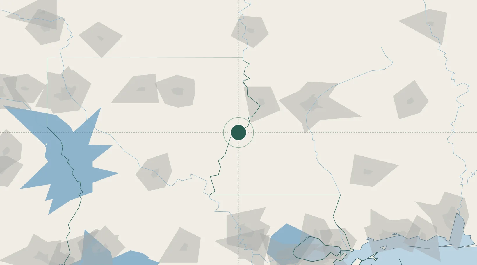
Saint Joseph
31.9167°, -91.2333°
1,176
Population
4
Transport functions
Transport Functions
Port
Rail
Road
Multimodal
Hub Profile
Place type
Provincial seat
Region
Louisiana
Population
1,176
Time zone
America/Chicago
Elevation
23 m
Location
Nearby Logistics Neighbours
Cities
- 1Waterproof18 km
- 2Newellton19 km
- 3Ferriday45 km
- 4Tallulah54 km
- 5Baskin61 km
Ports
- 1Baton Rouge163 km
- 2Madisonville198 km
- 3Convent215 km
- 4Reserve218 km
- 5St. James219 km
Airports
Trade Zones
- 1FTZ No. 158 Vicksburg Jackson61 km
- 2FTZ No. 154 Baton Rouge164 km
- 3FTZ No. 155 Calhoun Victoria Counties164 km
- 4FTZ No. 124 Gramercy212 km
- 5FTZ No. 002 New Orleans247 km
DatabookThe Record of Consolidated Knowledge
United States beyond logistics?