UN/LOCODE hub · United States
USTAU
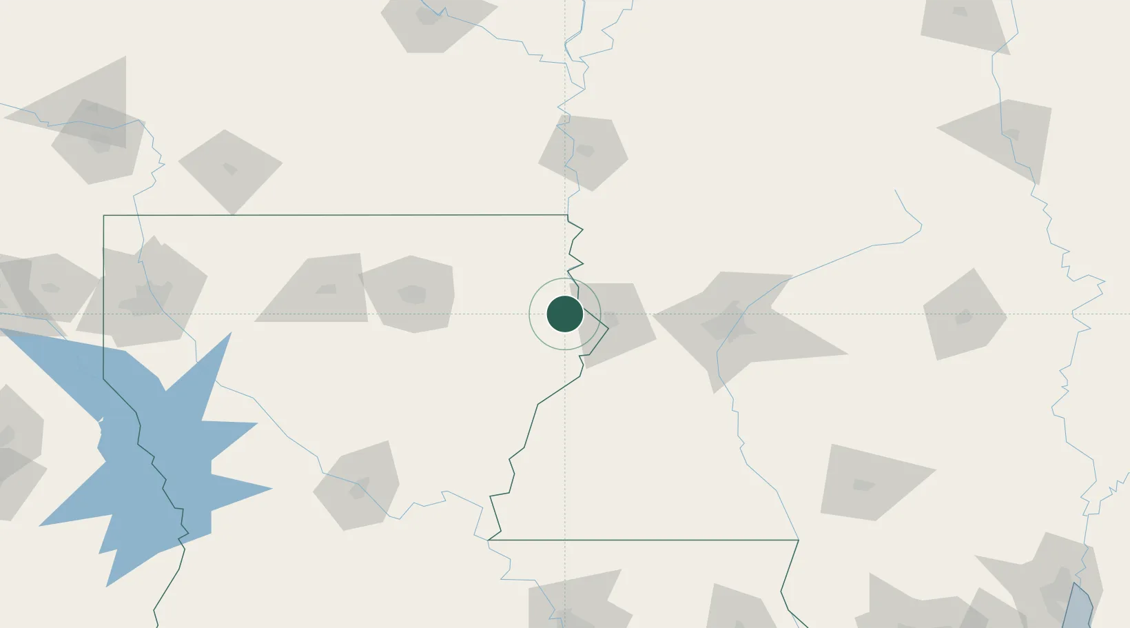
Tallulah
32.4000°, -91.1833°
6,995
Population
3
Transport functions
Transport Functions
Rail
Road
Multimodal
Hub Profile
Place type
Provincial seat
Region
Louisiana
Population
6,995
Time zone
America/Chicago
Elevation
26 m
Location
Nearby Logistics Neighbours
Cities
- 1Talla Bena10 km
- 2Vicksburg30 km
- 3Newellton36 km
- 4Redwood37 km
- 5Lake Providence45 km
Ports
- 1Baton Rouge217 km
- 2Madisonville243 km
- 3Convent267 km
- 4Reserve268 km
- 5St. James271 km
Airports
Trade Zones
- 1FTZ No. 158 Vicksburg Jackson38 km
- 2FTZ No. 154 Baton Rouge218 km
- 3FTZ No. 155 Calhoun Victoria Counties218 km
- 4FTZ No. 287 Tunica County255 km
- 5FTZ No. 145 Shreveport260 km
DatabookThe Record of Consolidated Knowledge
United States beyond logistics?