UN/LOCODE hub · United States
USNLT
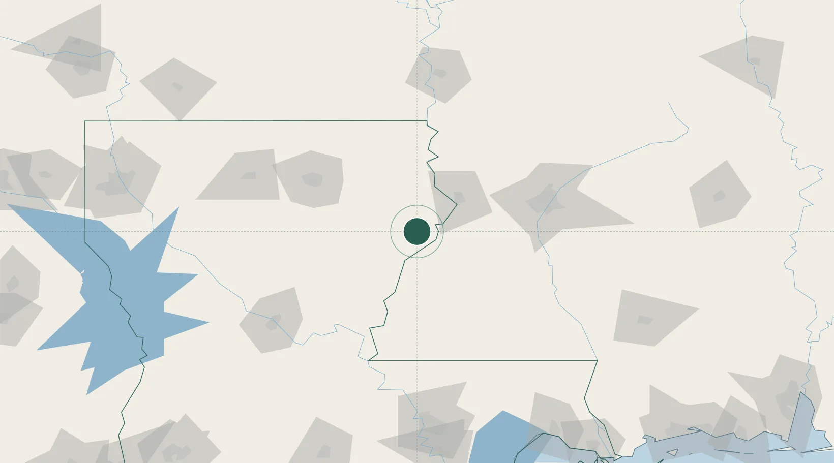
Newellton
32.0833°, -91.2500°
1,074
Population
2
Transport functions
Transport Functions
Rail
Road
Hub Profile
Place type
Populated place
Region
Louisiana
Population
1,074
Time zone
America/Chicago
Elevation
24 m
Location
Nearby Logistics Neighbours
Cities
- 1Saint Joseph19 km
- 2Waterproof33 km
- 3Tallulah36 km
- 4Talla Bena46 km
- 5Vicksburg49 km
Ports
- 1Baton Rouge182 km
- 2Madisonville214 km
- 3Convent233 km
- 4Reserve236 km
- 5St. James237 km
Airports
Trade Zones
- 1FTZ No. 158 Vicksburg Jackson51 km
- 2FTZ No. 154 Baton Rouge183 km
- 3FTZ No. 155 Calhoun Victoria Counties183 km
- 4FTZ No. 124 Gramercy231 km
- 5FTZ No. 145 Shreveport258 km
DatabookThe Record of Consolidated Knowledge
United States beyond logistics?