UN/LOCODE hub · United States
USWPF
Waterproof
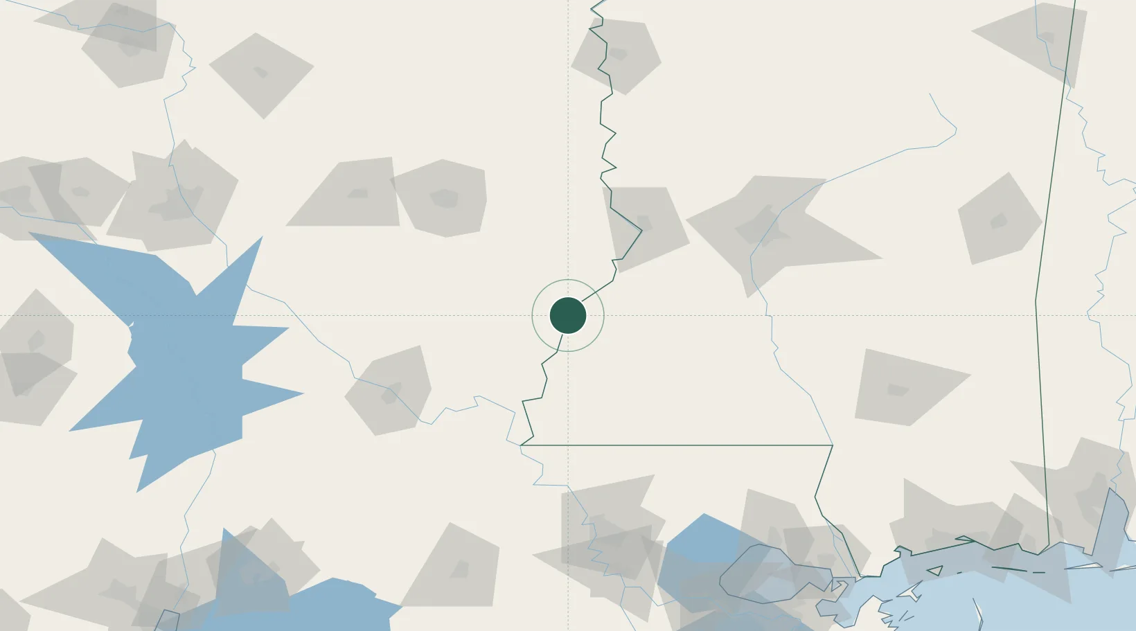
31.8000°, -91.3667°
609
Population
4
Transport functions
Transport Functions
Port
Rail
Road
Multimodal
Hub Profile
Place type
Populated place
Region
Louisiana
Population
609
Time zone
America/Chicago
Elevation
21 m
Location
Nearby Logistics Neighbours
Cities
- 1Saint Joseph18 km
- 2Ferriday27 km
- 3Newellton33 km
- 4Baskin62 km
- 5Tallulah69 km
Ports
- 1Baton Rouge151 km
- 2Madisonville194 km
- 3Convent205 km
- 4St. James209 km
- 5Reserve210 km
Airports
Trade Zones
- 1FTZ No. 158 Vicksburg Jackson79 km
- 2FTZ No. 154 Baton Rouge152 km
- 3FTZ No. 155 Calhoun Victoria Counties152 km
- 4FTZ No. 124 Gramercy203 km
- 5FTZ No. 002 New Orleans242 km
DatabookThe Record of Consolidated Knowledge
United States beyond logistics?