UN/LOCODE hub · United States
USQFI
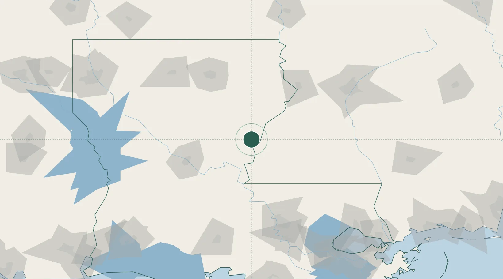
Ferriday
31.6167°, -91.5500°
3,375
Population
4
Transport functions
Transport Functions
Port
Rail
Road
Multimodal
Hub Profile
Place type
Populated place
Region
Louisiana
Population
3,375
Time zone
America/Chicago
Elevation
16 m
Location
Nearby Logistics Neighbours
Cities
- 1Waterproof27 km
- 2Saint Joseph45 km
- 3Jena56 km
- 4Newellton59 km
- 5Carville63 km
Ports
- 1Baton Rouge134 km
- 2Madisonville190 km
- 3Convent191 km
- 4St. James195 km
- 5Reserve199 km
Airports
Trade Zones
- 1FTZ No. 158 Vicksburg Jackson106 km
- 2FTZ No. 154 Baton Rouge134 km
- 3FTZ No. 155 Calhoun Victoria Counties134 km
- 4FTZ No. 124 Gramercy191 km
- 5FTZ No. 087 Lake Charles234 km
DatabookThe Record of Consolidated Knowledge
United States beyond logistics?