UN/LOCODE hub · United States
USYSG
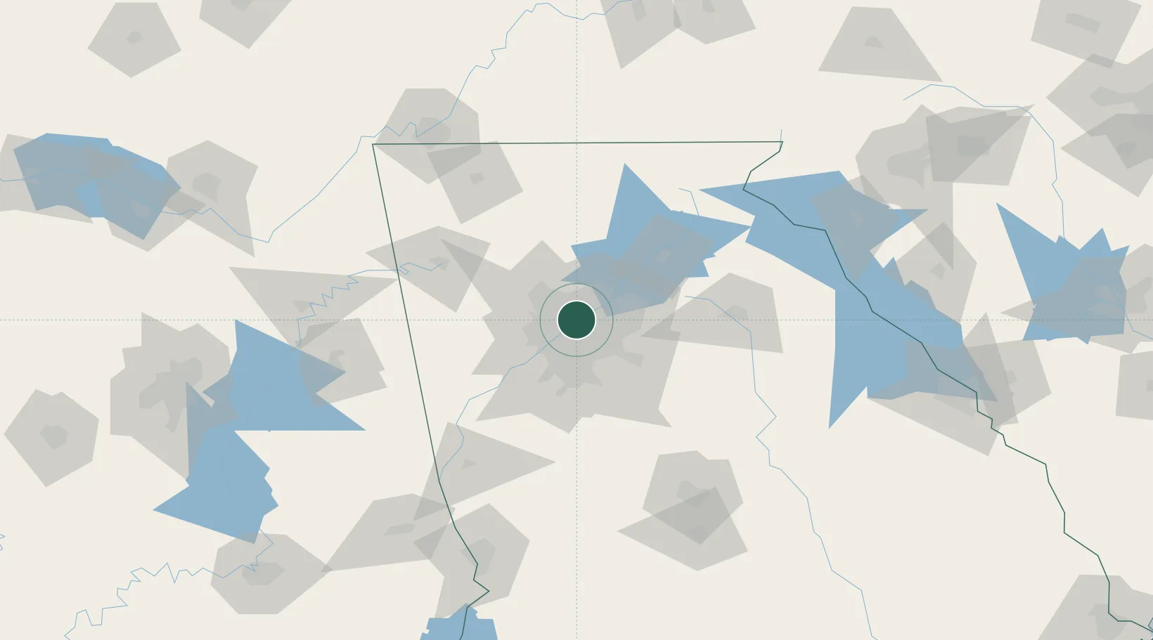
Sandy Springs
33.9167°, -84.3667°
105,330
Population
3
Transport functions
Transport Functions
Port
Road
Multimodal
Hub Profile
Place type
Populated place
Region
Georgia
Population
105,330
Time zone
America/New_York
Elevation
333 m
Location
Nearby Logistics Neighbours
Cities
- 1Dunwoody5 km
- 2Johns Creek20 km
- 3Lexington28 km
- 4Redan30 km
- 5Alabama City33 km
Ports
- 1Savannah368 km
- 2Beaufort382 km
- 3Port Royal384 km
- 4Darien395 km
- 5Brunswick408 km
Airports
Trade Zones
- 1FTZ No. 026 Atlanta17 km
- 2FTZ No. 134 Chattanooga161 km
- 3FTZ No. 038 Spartanburg County222 km
- 4FTZ No. 098 Birmingham230 km
- 5FTZ No. 148 Knoxville231 km
DatabookThe Record of Consolidated Knowledge
United States beyond logistics?