UN/LOCODE hub · United States
USDW3
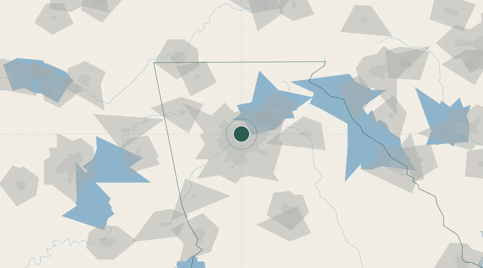
Dunwoody
33.9500°, -84.3333°
48,733
Population
2
Transport functions
Transport Functions
Road
Multimodal
Hub Profile
Place type
Populated place
Region
Georgia
Population
48,733
Time zone
America/New_York
Elevation
345 m
Location
Nearby Logistics Neighbours
Cities
- 1Sandy Springs5 km
- 2Johns Creek16 km
- 3Lexington26 km
- 4Alabama City29 km
- 5Redan30 km
Ports
- 1Savannah367 km
- 2Beaufort381 km
- 3Port Royal383 km
- 4Darien395 km
- 5Brunswick409 km
Airports
Trade Zones
- 1FTZ No. 026 Atlanta22 km
- 2FTZ No. 134 Chattanooga160 km
- 3FTZ No. 038 Spartanburg County218 km
- 4FTZ No. 148 Knoxville227 km
- 5FTZ No. 098 Birmingham234 km
DatabookThe Record of Consolidated Knowledge
United States beyond logistics?