Transport Functions
Road
Multimodal
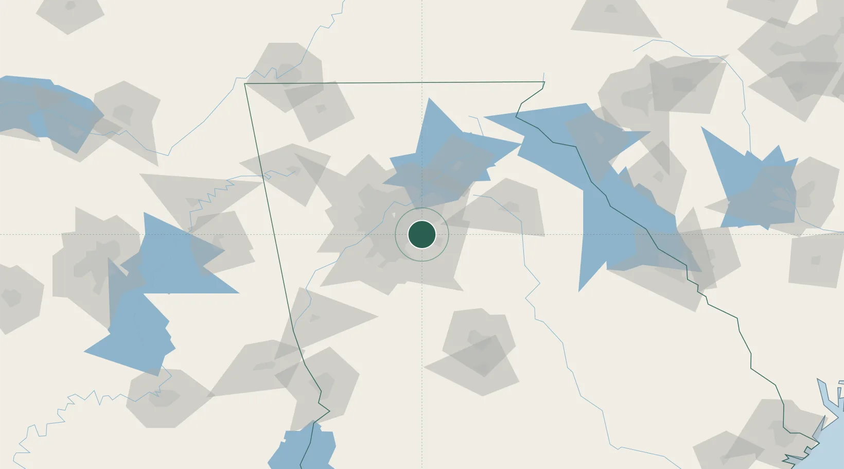
Hub Profile
Place type
Populated place
Region
Georgia
Population
33,015
Time zone
America/New_York
Elevation
299 m
Location
Nearby Logistics Neighbours
Cities
- 1Lexington16 km
- 2Ellenwood21 km
- 3Lake City24 km
- 4Grayson24 km
- 5Loganville24 km
Ports
- 1Savannah339 km
- 2Beaufort354 km
- 3Port Royal356 km
- 4Darien365 km
- 5Brunswick379 km
Airports
Trade Zones
- 1FTZ No. 026 Atlanta24 km
- 2FTZ No. 134 Chattanooga190 km
- 3FTZ No. 038 Spartanburg County216 km
- 4FTZ No. 098 Birmingham249 km
- 5FTZ No. 148 Knoxville251 km
DatabookThe Record of Consolidated Knowledge
United States beyond logistics?