UN/LOCODE hub · United States
USH8R
Harpersville
33.3333°, -86.4333°
1,681
Population
1
Transport functions
Transport Functions
Multimodal
Hub Profile
Place type
Populated place
Region
Alabama
Population
1,681
Time zone
America/Chicago
Elevation
139 m
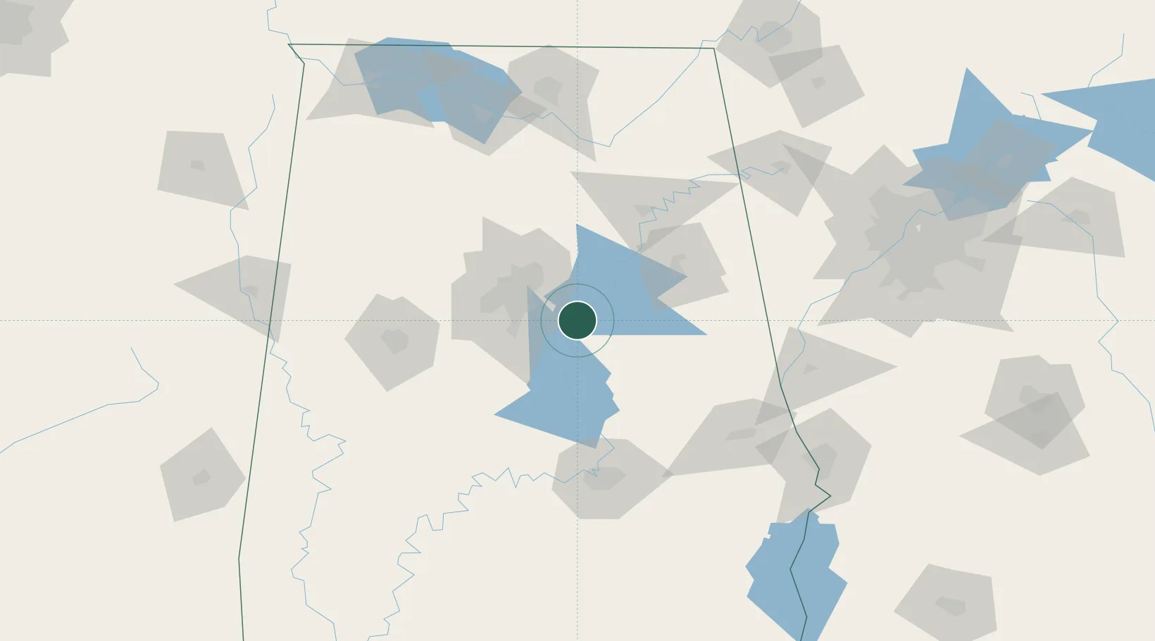
Location
Nearby Logistics Neighbours
Cities
- 1Vincent6 km
- 2Coosa Pines8 km
- 3Childersburg10 km
- 4Chelsea17 km
- 5Cropwell29 km
Ports
- 1Pensacola335 km
- 2Mobile335 km
- 3Panama City363 km
- 4Pascagoula388 km
- 5Port Of Memphis394 km
Airports
Trade Zones
- 1FTZ No. 098 Birmingham41 km
- 2FTZ No. 222 Montgomery107 km
- 3FTZ No. 083 Huntsville149 km
- 4FTZ No. 270 Lawrence County152 km
- 5FTZ No. 265 Conroe (Montgomery County)156 km
DatabookThe Record of Consolidated Knowledge
United States beyond logistics?