UN/LOCODE hub · United States
USYRS
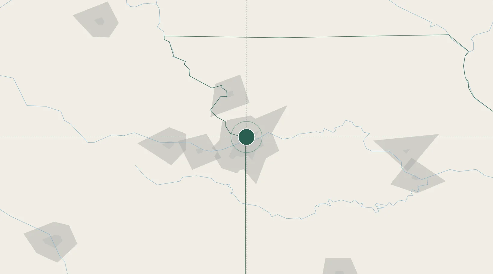
Riverside
39.1667°, -94.6000°
3,150
Population
3
Transport functions
Transport Functions
Rail
Road
Multimodal
Hub Profile
Place type
Populated place
Region
Missouri
Population
3,150
Time zone
America/Chicago
Elevation
236 m
Location
Nearby Logistics Neighbours
Ports
- 1Port Of Memphis602 km
- 2Calumet Harbor664 km
- 3Chicago664 km
- 4Indiana Harbor667 km
- 5Wilmette668 km
Airports
Trade Zones
- 1FTZ No. 017 Kansas City24 km
- 2FTZ No. 015 Kansas City45 km
- 3FTZ No. 133 Quad-Cities, Iowa Illinois183 km
- 4FTZ No. 225 Springfield253 km
- 5FTZ No. 059 Lincoln263 km
DatabookThe Record of Consolidated Knowledge
United States beyond logistics?