UN/LOCODE hub · United States
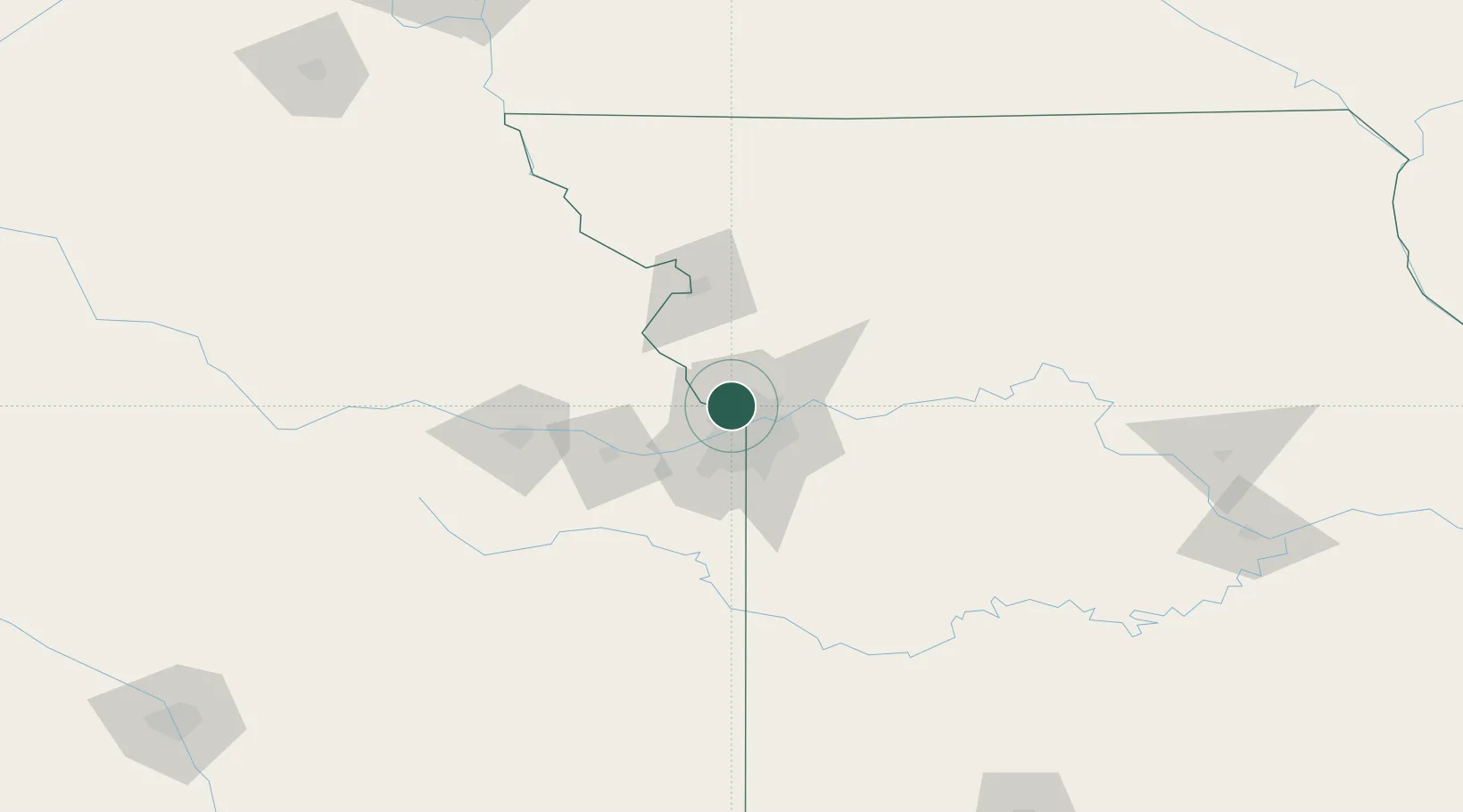
USKLE

Parkville

39.2000°, -94.6833°
6,296
Population
3
Transport functions

Transport Functions

Rail
Road
Multimodal
UN/LOCODE

Hub Profile

Place type
Populated place
GeoNames
Region
Missouri
GeoNames
Population
6,296
GeoNames
Time zone
America/Chicago
GeoNames
Elevation
253 m
GeoNames

Location

Location of USKLE
Natural Earth 10m (public domain) · Missouri · USKLE · 39.20, -94.68GoogleOSMYandex

Nearby Logistics Neighbours

Cities
  1. 1Northmoor7 km
  2. 2Riverside8 km
  3. 3Gladstone10 km
  4. 4Muncie14 km
  5. 5Platte18 km
Nearest neighbours — logibook spatial index (haversine) over the source coordinates
Ports
  1. 1Port Of Memphis609 km
  2. 2Calumet Harbor668 km
  3. 3Chicago669 km
  4. 4Wilmette672 km
  5. 5Great Lakes672 km
Nearest neighbours — logibook spatial index (haversine) over the source coordinates
Airports
  1. 1Charles B. Wheeler Downtown Airport12 km
  2. 2Kansas City International Airport12 km
  3. 3Rosecrans Memorial Airport67 km
  4. 4Philip Billard Municipal Airport82 km
  5. 5Topeka Regional Airport89 km
Nearest neighbours — logibook spatial index (haversine) over the source coordinates
Trade Zones
  1. 1FTZ No. 017 Kansas City19 km
  2. 2FTZ No. 015 Kansas City44 km
  3. 3FTZ No. 133 Quad-Cities, Iowa Illinois175 km
  4. 4FTZ No. 059 Lincoln255 km
  5. 5FTZ No. 225 Springfield260 km
Nearest neighbours — logibook spatial index (haversine) over the source coordinates
DatabookThe Record of Consolidated Knowledge
United States beyond logistics?
Browse databook

All Sources

LocationsUN/LOCODE
UN/LOCODE — free
LocationsGeoNames
CC BY 4.0
Portsthe NGA World Port Index
Public domain (US gov)
AirportsOurAirports
Public domain
Trade Zonesthe World Bank SEZ database
CC BY 4.0
Trade ZonesOpen Zone Map
CC BY
← United States locations