Transport Functions
Road
Multimodal
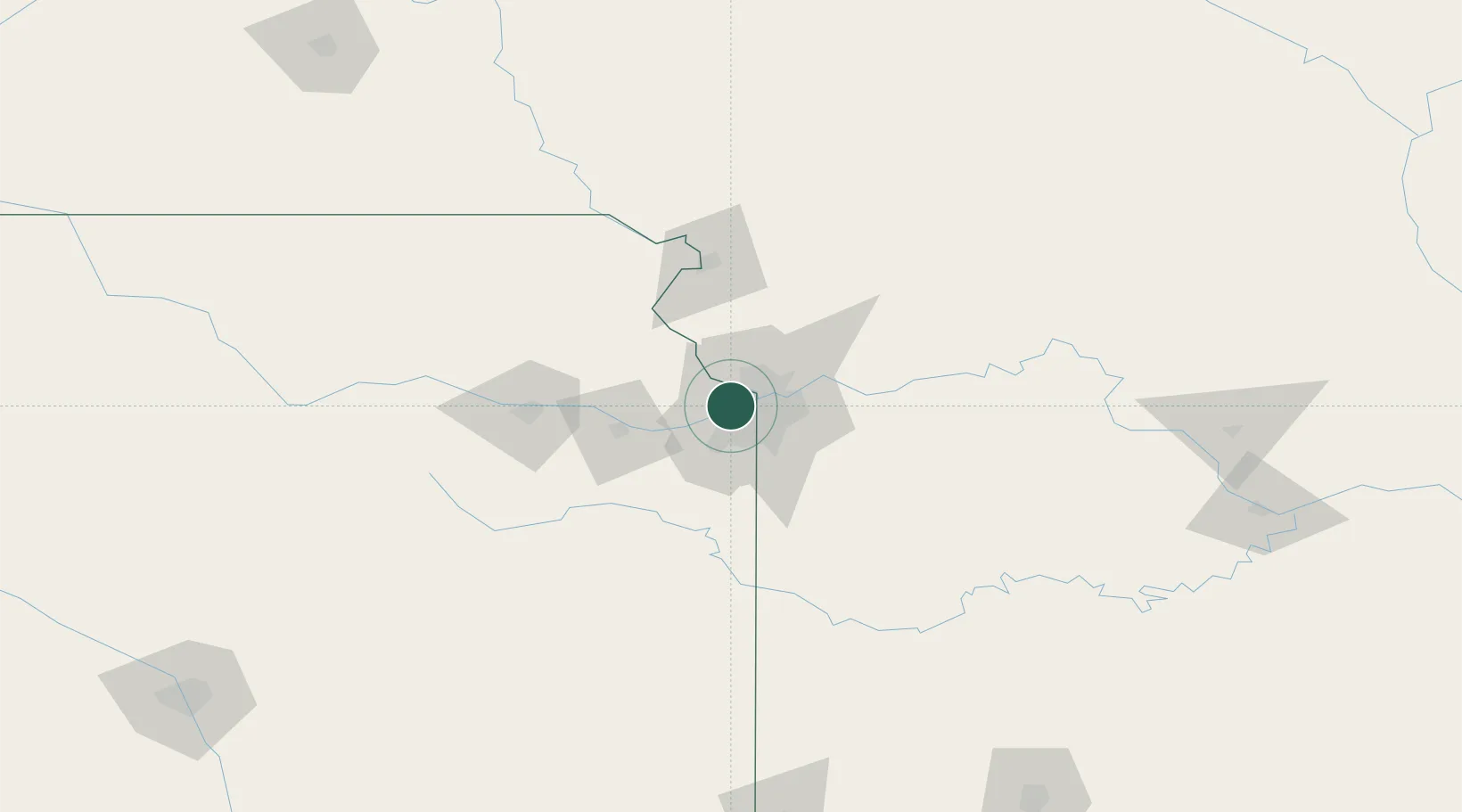
Hub Profile
Place type
Populated place
Region
Kansas
Time zone
America/Chicago
Elevation
248 m
Location
Nearby Logistics Neighbours
Ports
- 1Port Of Memphis603 km
- 2Calumet Harbor678 km
- 3Chicago679 km
- 4Indiana Harbor682 km
- 5Wilmette682 km
Airports
Trade Zones
- 1FTZ No. 017 Kansas City11 km
- 2FTZ No. 015 Kansas City31 km
- 3FTZ No. 133 Quad-Cities, Iowa Illinois180 km
- 4FTZ No. 225 Springfield251 km
- 5FTZ No. 059 Lincoln262 km
DatabookThe Record of Consolidated Knowledge
United States beyond logistics?