UN/LOCODE hub · United States
USYPD
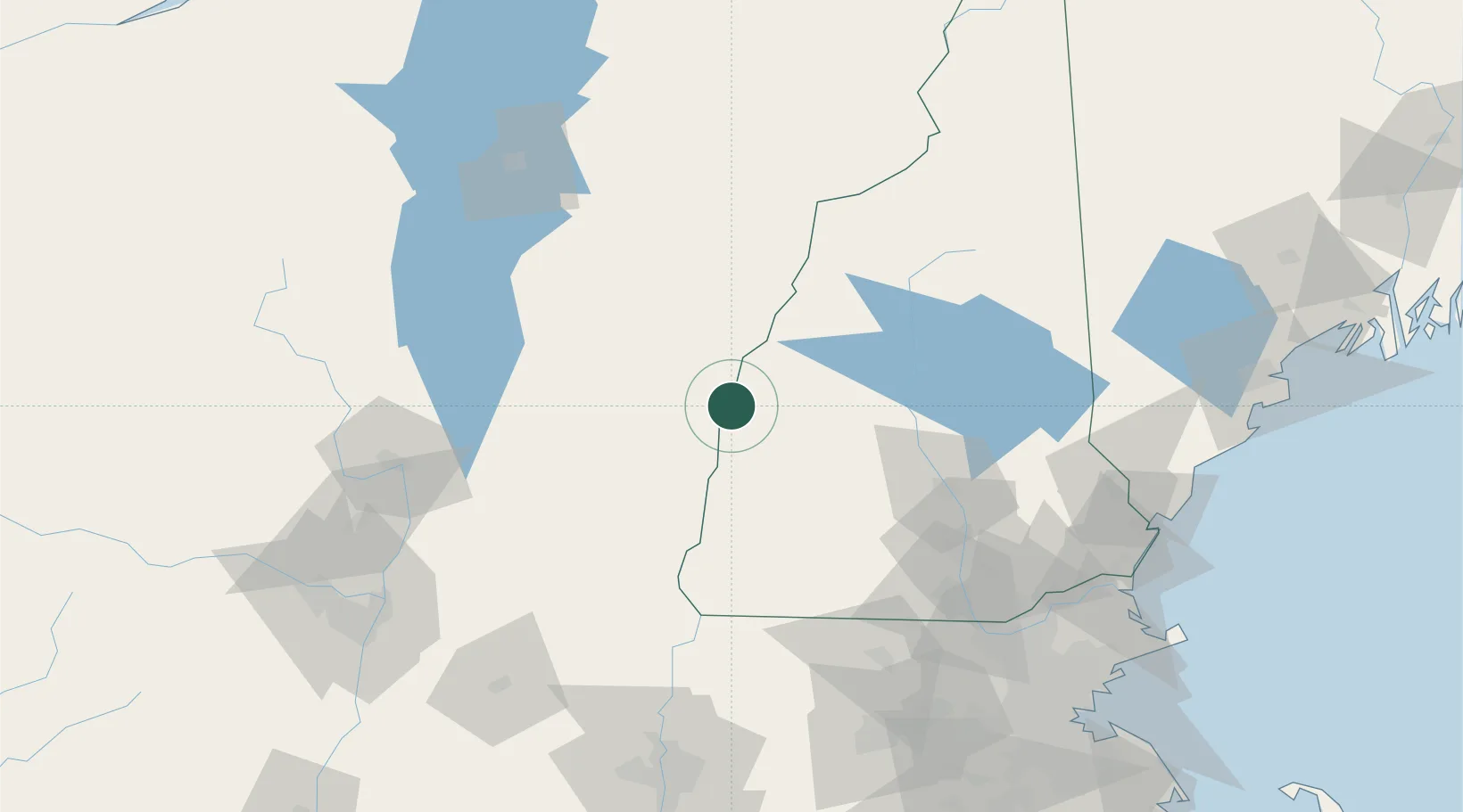
Plainfield
43.5333°, -72.3500°
205
Population
2
Transport functions
Transport Functions
Road
Multimodal
Hub Profile
Place type
Populated place
Region
New Hampshire
Population
205
Time zone
America/New_York
Elevation
159 m
Location
Nearby Logistics Neighbours
Cities
- 1Hartland4 km
- 2North Hartland6 km
- 3West Windsor12 km
- 4Wilder15 km
- 5Lebanon15 km
Ports
- 1Portsmouth139 km
- 2Troy141 km
- 3Newburyport144 km
- 4Albany150 km
- 5Rensselaer150 km
Airports
Trade Zones
- 1FTZ No. 268 Brattleboro78 km
- 2FTZ No. 081 Portsmouth133 km
- 3FTZ No. 201 Holyoke149 km
- 4FTZ No. 121 Albany150 km
- 5FTZ No. 027 Boston169 km
DatabookThe Record of Consolidated Knowledge
United States beyond logistics?