UN/LOCODE hub · United States
USNHQ
North Hartland
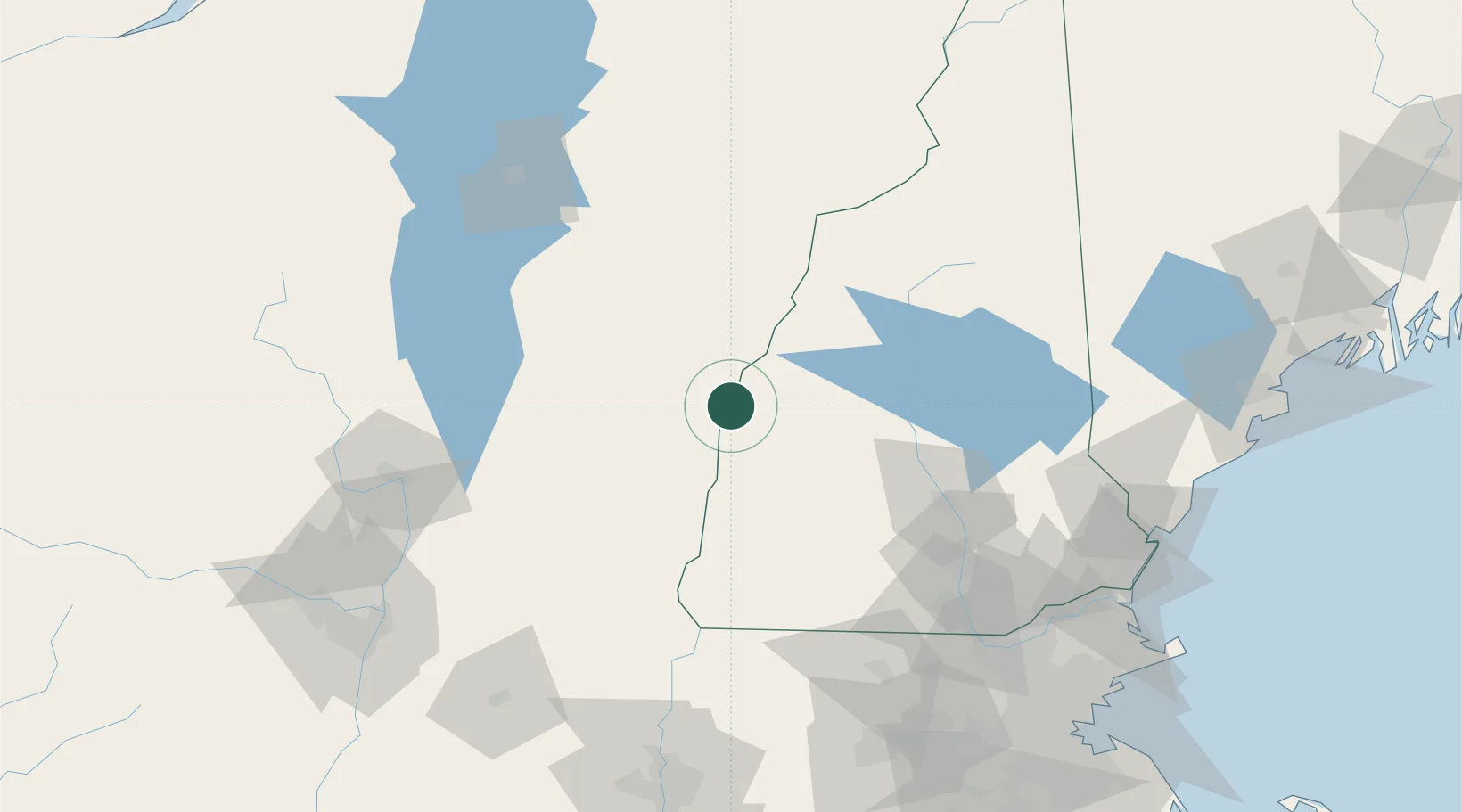
43.5833°, -72.3500°
302
Population
3
Transport functions
Transport Functions
Port
Rail
Road
Hub Profile
Place type
Populated place
Region
Vermont
Population
302
Time zone
America/New_York
Elevation
111 m
Location
Nearby Logistics Neighbours
Cities
- 1Plainfield6 km
- 2Hartland7 km
- 3Wilder10 km
- 4Lebanon11 km
- 5Hanover14 km
Ports
- 1Portsmouth141 km
- 2Troy145 km
- 3Newburyport147 km
- 4Saco153 km
- 5Kennebunkport154 km
Airports
Trade Zones
- 1FTZ No. 268 Brattleboro83 km
- 2FTZ No. 081 Portsmouth135 km
- 3FTZ No. 121 Albany153 km
- 4FTZ No. 201 Holyoke154 km
- 5FTZ No. 027 Boston174 km
DatabookThe Record of Consolidated Knowledge
United States beyond logistics?