UN/LOCODE hub · United States
USLN7
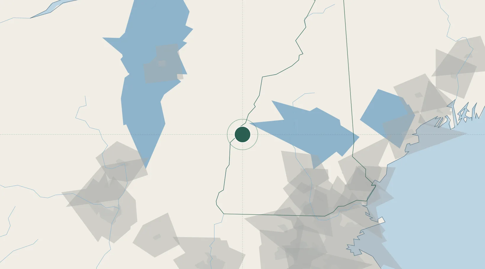
Lebanon
43.6500°, -72.2500°
13,579
Population
1
Transport functions
Transport Functions
Multimodal
Hub Profile
Place type
Populated place
Region
New Hampshire
Population
13,579
Time zone
America/New_York
Elevation
178 m
Location
Nearby Logistics Neighbours
Cities
- 1Wilder6 km
- 2Hanover6 km
- 3Norwich8 km
- 4North Hartland11 km
- 5Plainfield15 km
Ports
- 1Portsmouth137 km
- 2Newburyport145 km
- 3Saco146 km
- 4Kennebunkport147 km
- 5Troy156 km
Airports
Trade Zones
- 1FTZ No. 268 Brattleboro92 km
- 2FTZ No. 081 Portsmouth131 km
- 3FTZ No. 201 Holyoke163 km
- 4FTZ No. 121 Albany164 km
- 5FTZ No. 263 Auburn171 km
DatabookThe Record of Consolidated Knowledge
United States beyond logistics?