Transport Functions
Port
Rail
Road
Hub Profile
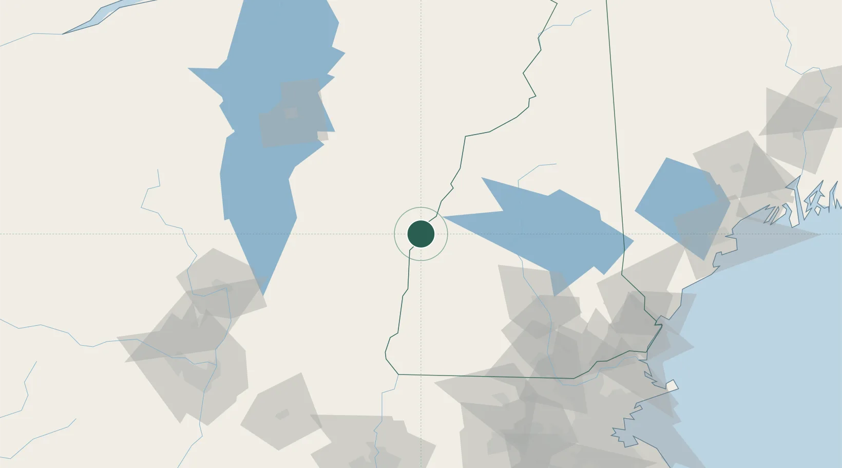
Place type
Populated place
Region
Vermont
Population
1,690
Time zone
America/New_York
Elevation
130 m
Location
Nearby Logistics Neighbours
Cities
- 1Hanover5 km
- 2Lebanon6 km
- 3Norwich6 km
- 4North Hartland10 km
- 5Plainfield15 km
Ports
- 1Portsmouth142 km
- 2Newburyport151 km
- 3Saco152 km
- 4Troy153 km
- 5Kennebunkport153 km
Airports
Trade Zones
- 1FTZ No. 268 Brattleboro93 km
- 2FTZ No. 081 Portsmouth137 km
- 3FTZ No. 121 Albany161 km
- 4FTZ No. 201 Holyoke164 km
- 5FTZ No. 263 Auburn176 km
DatabookThe Record of Consolidated Knowledge
United States beyond logistics?