Transport Functions
Rail
Road
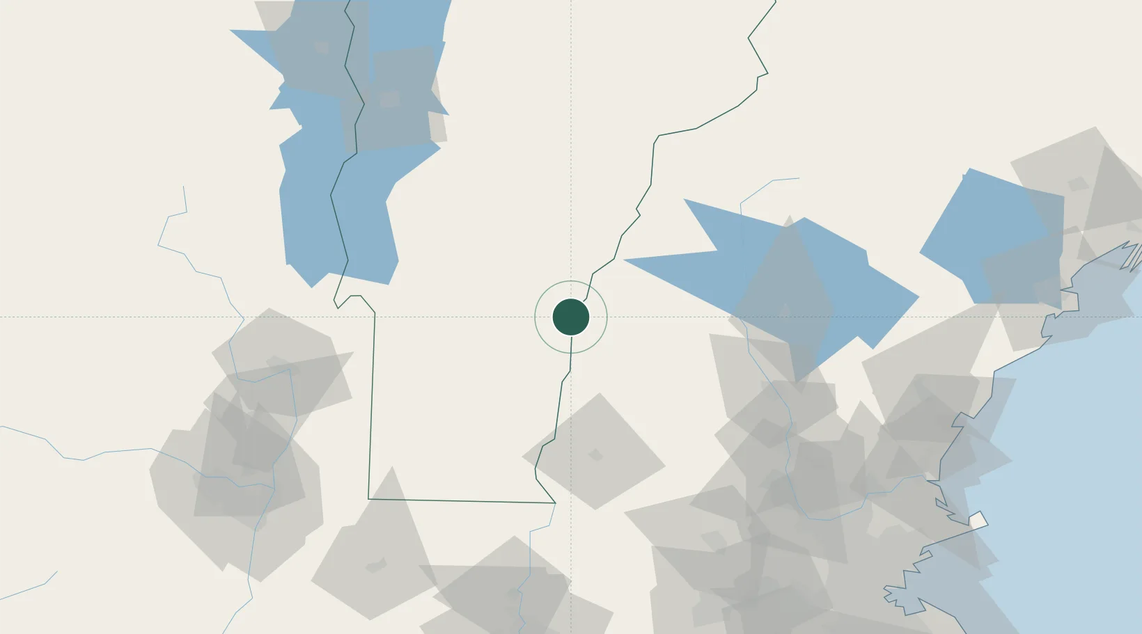
Hub Profile
Place type
Populated place
Region
Vermont
Population
380
Time zone
America/New_York
Elevation
182 m
Location
Nearby Logistics Neighbours
Cities
- 1Plainfield4 km
- 2North Hartland7 km
- 3West Windsor9 km
- 4Ascutney15 km
- 5Wilder16 km
Ports
- 1Troy138 km
- 2Portsmouth143 km
- 3Albany147 km
- 4Rensselaer147 km
- 5Newburyport148 km
Airports
Trade Zones
- 1FTZ No. 268 Brattleboro77 km
- 2FTZ No. 081 Portsmouth137 km
- 3FTZ No. 121 Albany147 km
- 4FTZ No. 201 Holyoke148 km
- 5FTZ No. 027 Boston172 km
DatabookThe Record of Consolidated Knowledge
United States beyond logistics?