UN/LOCODE hub · United States
USQQX
Steelton
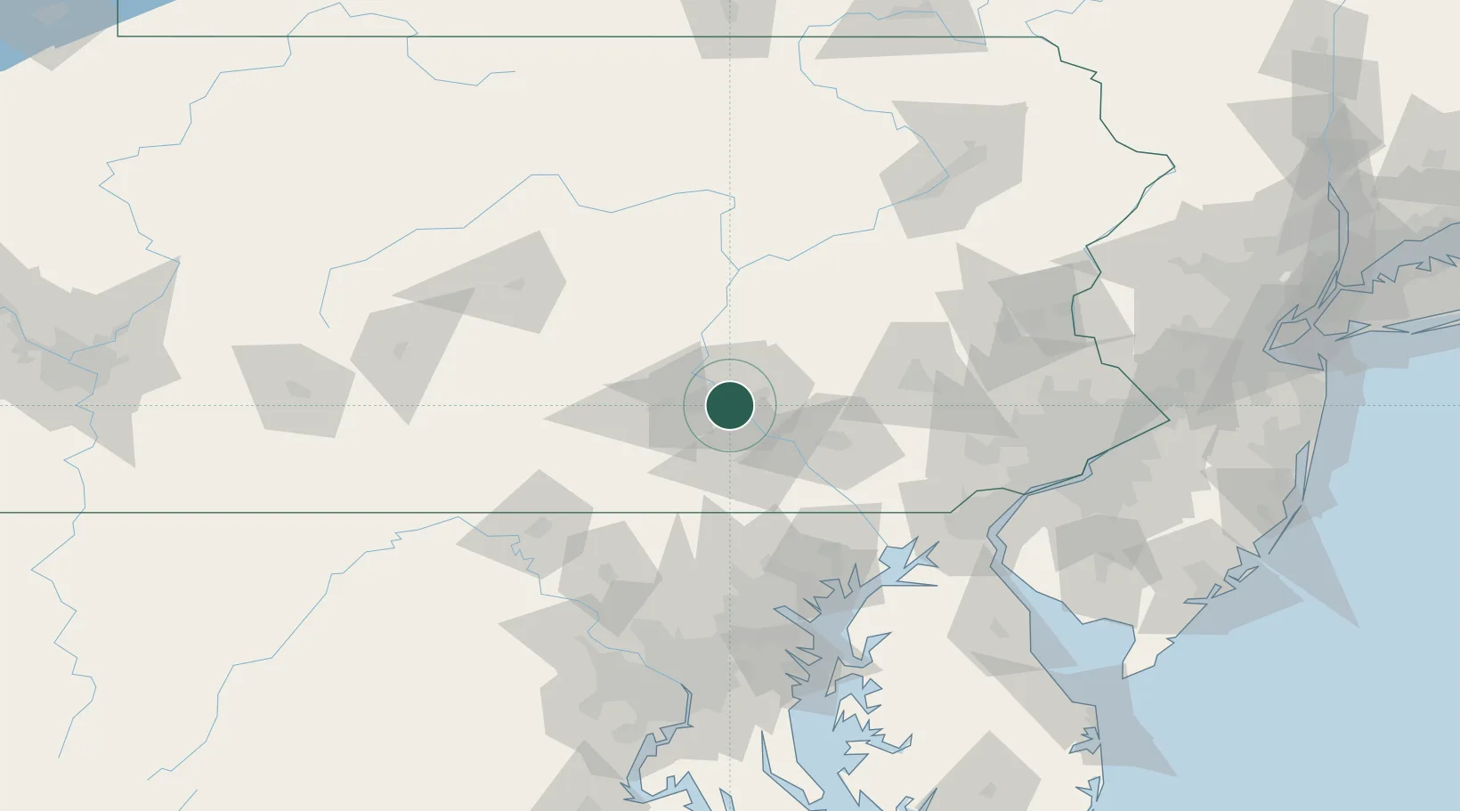
40.2333°, -76.8333°
5,932
Population
2
Transport functions
Transport Functions
Port
Multimodal
Hub Profile
Place type
Populated place
Region
Pennsylvania
Population
5,932
Time zone
America/New_York
Elevation
97 m
Location
Nearby Logistics Neighbours
Cities
- 1Swatara4 km
- 2Highspire6 km
- 3Dauphin16 km
- 4Manchester21 km
- 5Dillsburg21 km
Ports
- 1Havre De Grace101 km
- 2Baltimore110 km
- 3Wilmington123 km
- 4New Castle126 km
- 5Deepwater Point127 km
Airports
Trade Zones
- 1FTZ No. 147 Berks County52 km
- 2FTZ No. 272 Counties of Lehigh and Northampton105 km
- 3FTZ No. 074 Baltimore109 km
- 4FTZ No. 073 BWI Airport118 km
- 5FTZ No. 099 Wilmington123 km
DatabookThe Record of Consolidated Knowledge
United States beyond logistics?