Medium airport · United States
Western Carolina Regional AirportKRHP
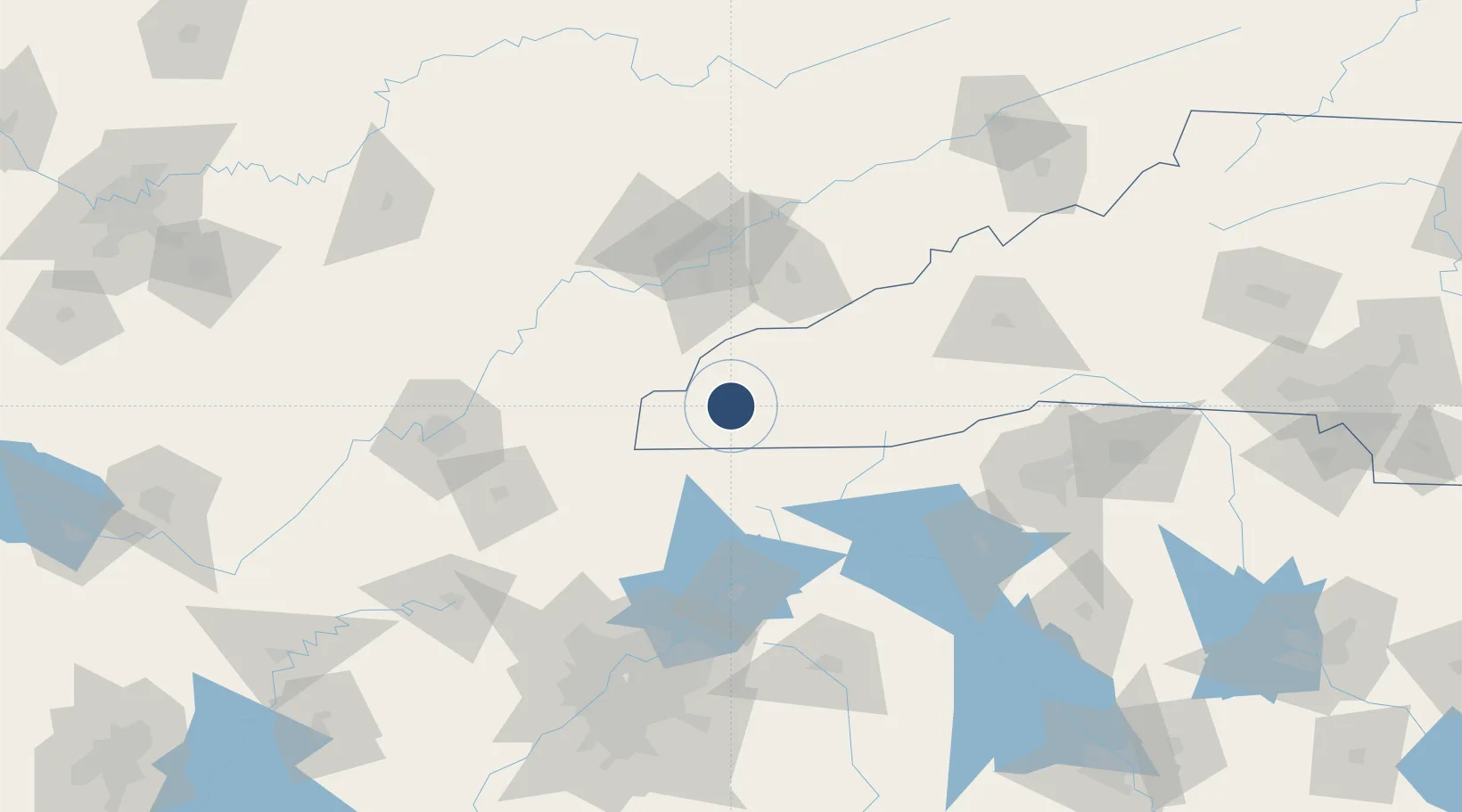
35.1952°, -83.8630°
5,500 ft
Longest runway
1
Runways
1,697 ft
Elevation
Runway & Layout

Radio Frequencies
AWOS
119.675 MHz
AWOS 3
CNTR
134.8 MHz
ATLANTA CNTR
UNIC
122.8 MHz
CTAF/UNICOM
Runways · 1
| Runway | Dimensions | Surface | True heading | Lit |
|---|---|---|---|---|
| 08/26 | 5,500 × 100ft | Asphalt | 071° | ✓ |
Airport Specifications
ICAO code
KRHP
Airport class
Medium airport
Scheduled service
No
Runway surface
Asphalt
Served city
Andrews
Location
Nearby Logistics Neighbours
Airports
Cities
- 1Andrews4 km
- 2Marble7 km
- 3Murphy20 km
- 4Blairsville36 km
- 5Blairesville39 km
Ports
- 1Beaufort426 km
- 2Port Royal430 km
- 3Savannah431 km
- 4Charleston452 km
- 5Georgetown467 km
Trade Zones
- 1FTZ No. 148 Knoxville94 km
- 2FTZ No. 134 Chattanooga138 km
- 3FTZ No. 038 Spartanburg County151 km
- 4FTZ No. 026 Atlanta167 km
- 5FTZ No. 204 Tri-Cities194 km
DatabookThe Record of Consolidated Knowledge
United States beyond logistics?