Transport Functions
Road
Multimodal
Hub Profile
Place type
Populated place
Region
Georgia
Population
922
Time zone
America/New_York
Elevation
427 m
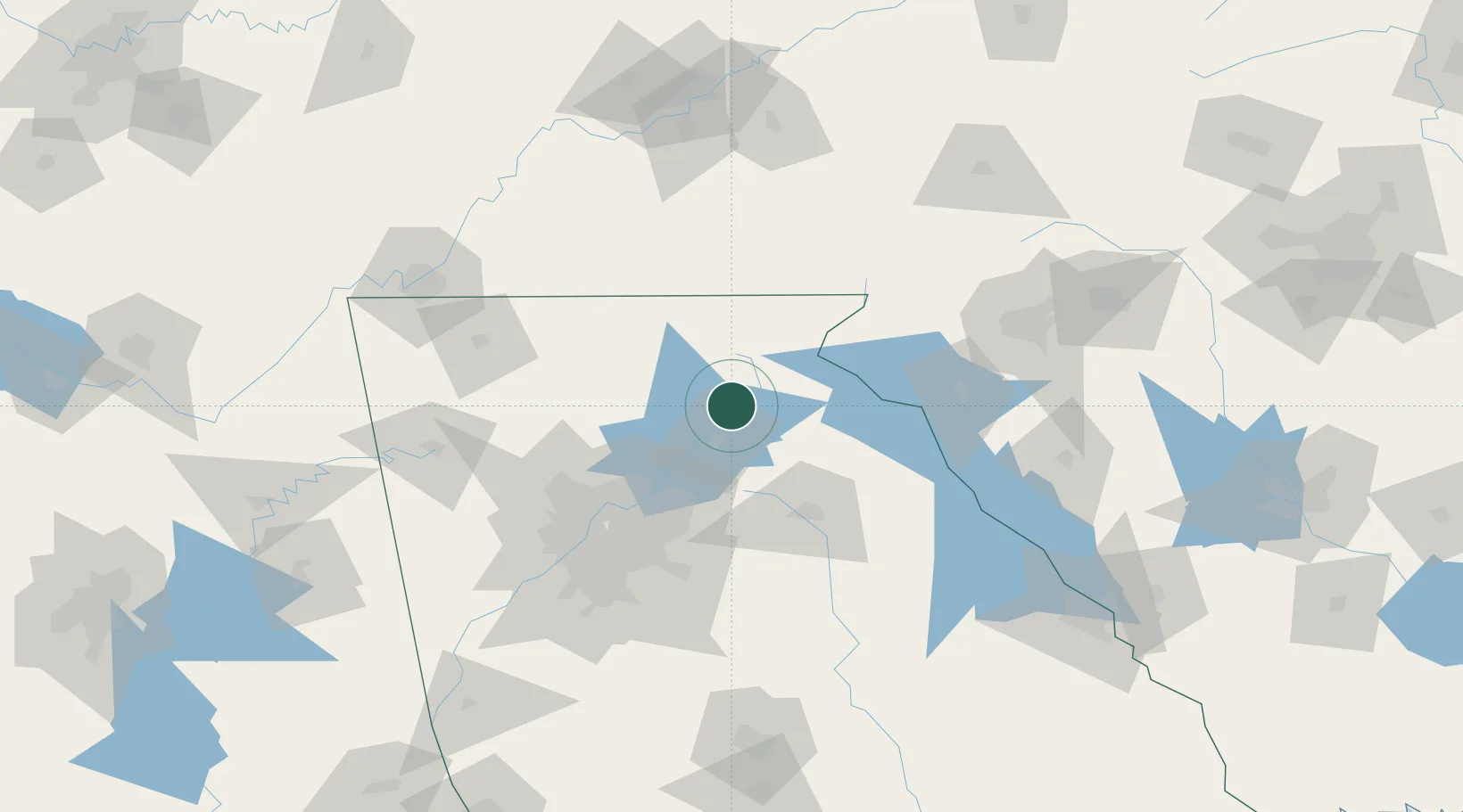
Location
Nearby Logistics Neighbours
Cities
- 1Lula14 km
- 2Alto18 km
- 3Gillsville22 km
- 4Helen26 km
- 5Clarkesville27 km
Ports
- 1Savannah364 km
- 2Beaufort366 km
- 3Port Royal369 km
- 4Charleston403 km
- 5Darien408 km
Airports
Trade Zones
- 1FTZ No. 026 Atlanta97 km
- 2FTZ No. 038 Spartanburg County146 km
- 3FTZ No. 134 Chattanooga163 km
- 4FTZ No. 148 Knoxville174 km
- 5FTZ No. 127 West Columbia248 km
DatabookThe Record of Consolidated Knowledge
United States beyond logistics?