Transport Functions
Rail
Road
Multimodal
Hub Profile
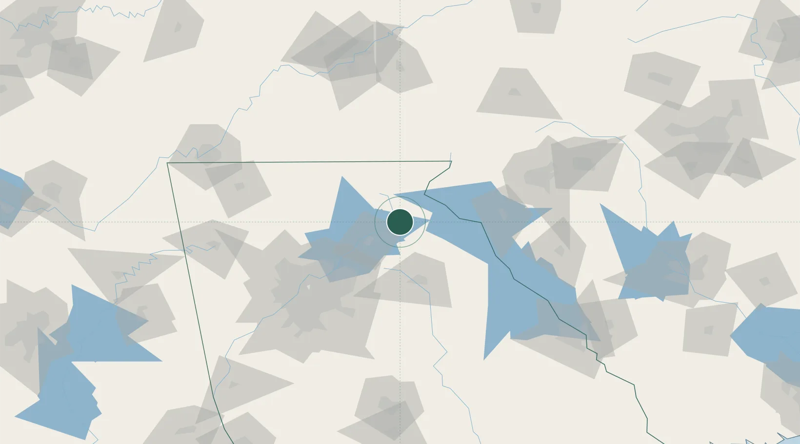
Place type
Populated place
Region
Georgia
Population
1,167
Time zone
America/New_York
Elevation
426 m
Location
Nearby Logistics Neighbours
Cities
- 1Lula12 km
- 2Clarkesville17 km
- 3Clermont18 km
- 4Gillsville20 km
- 5Maysville24 km
Ports
- 1Beaufort351 km
- 2Savannah351 km
- 3Port Royal355 km
- 4Charleston386 km
- 5Darien398 km
Airports
Trade Zones
- 1FTZ No. 026 Atlanta109 km
- 2FTZ No. 038 Spartanburg County129 km
- 3FTZ No. 148 Knoxville180 km
- 4FTZ No. 134 Chattanooga180 km
- 5FTZ No. 127 West Columbia230 km
DatabookThe Record of Consolidated Knowledge
United States beyond logistics?