Transport Functions
Multimodal
Hub Profile
Place type
Populated place
Region
Washington
Population
425
Time zone
America/Los_Angeles
Elevation
580 m
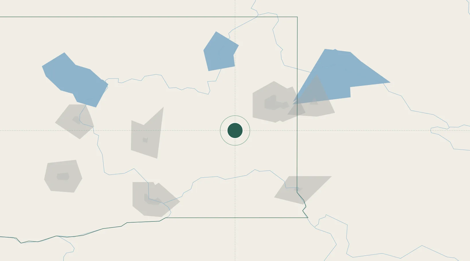
Location
Nearby Logistics Neighbours
Cities
- 1Cheney35 km
- 2Fairchild Air Force Base45 km
- 3Spangle46 km
- 4Airway Heights48 km
- 5Odessa54 km
Ports
- 1The Dalles311 km
- 2Everett328 km
- 3Seattle330 km
- 4Mukilteo333 km
- 5Tacoma336 km
Airports
Trade Zones
- 1FTZ No. 224 Spokane55 km
- 2FTZ No. 203 Moses Lake105 km
- 3FTZ No. 242 Boundary County182 km
- 4FTZ No. 085 Everett328 km
- 5FTZ No. 086 Tacoma335 km
DatabookThe Record of Consolidated Knowledge
United States beyond logistics?