UN/LOCODE hub · United States
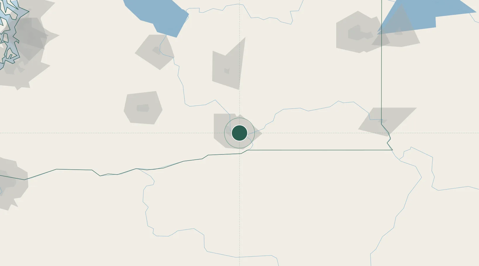
USYTC

Tri-Cities

46.2500°, -119.1167°
244,036
Population
3
Transport functions

Transport Functions

Port
Road
Multimodal
UN/LOCODE

Hub Profile

Place type
Populated places
GeoNames
Region
Washington
GeoNames
Population
244,036
GeoNames
Time zone
America/Los_Angeles
GeoNames
Elevation
106 m
GeoNames

Location

Location of USYTC
Natural Earth 10m (public domain) · Washington · USYTC · 46.25, -119.12GoogleOSMYandex

Nearby Logistics Neighbours

Cities
  1. 1Villard Junction13 km
  2. 2Burbank20 km
  3. 3Benton City28 km
  4. 4Lowden47 km
  5. 5Irrigon50 km
Nearest neighbours — logibook spatial index (haversine) over the source coordinates
Ports
  1. 1The Dalles175 km
  2. 2Washougal261 km
  3. 3Camas265 km
  4. 4Tacoma276 km
  5. 5Vancouver284 km
Nearest neighbours — logibook spatial index (haversine) over the source coordinates
Airports
  1. 1Tri Cities Airport2 km
  2. 2Eastern Oregon Regional Airport at Pendleton65 km
  3. 3Walla Walla Regional Airport66 km
  4. 4Grant County International Airport108 km
  5. 5Yakima Air Terminal McAllister Field115 km
Nearest neighbours — logibook spatial index (haversine) over the source coordinates
Trade Zones
  1. 1FTZ No. 203 Moses Lake100 km
  2. 2FTZ No. 224 Spokane201 km
  3. 3FTZ No. 086 Tacoma275 km
  4. 4FTZ No. 212 Tacoma283 km
  5. 5FTZ No. 296 Vancouver284 km
Nearest neighbours — logibook spatial index (haversine) over the source coordinates
DatabookThe Record of Consolidated Knowledge
United States beyond logistics?
Browse databook

All Sources

LocationsUN/LOCODE
UN/LOCODE — free
LocationsGeoNames
CC BY 4.0
Portsthe NGA World Port Index
Public domain (US gov)
AirportsOurAirports
Public domain
Trade Zonesthe World Bank SEZ database
CC BY 4.0
Trade ZonesOpen Zone Map
CC BY
← United States locations