UN/LOCODE hub · United States
USIBG

Waitsburg

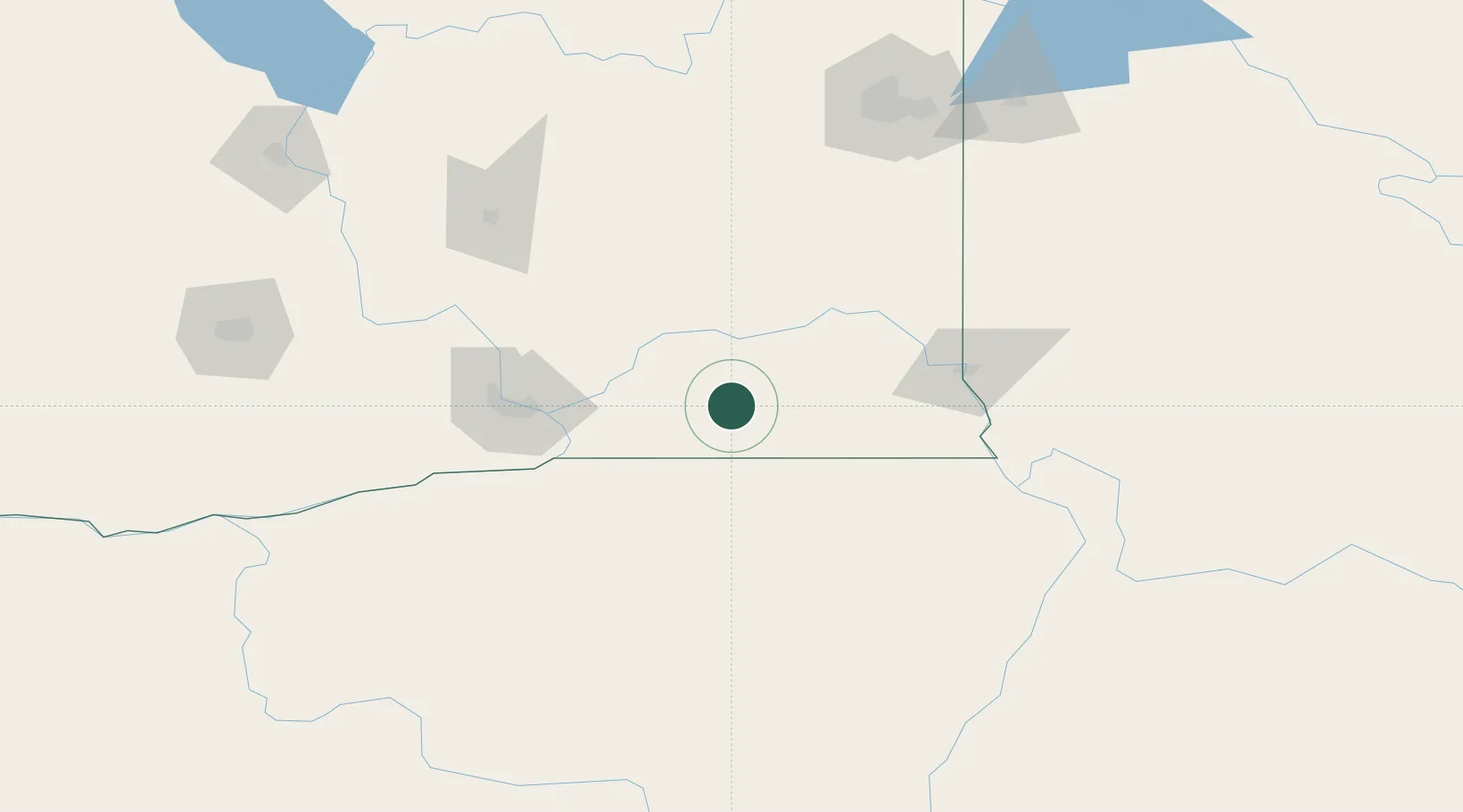
46.2500°, -118.1500°
1,191
Population
2
Transport functions

Transport Functions

Road
Multimodal
UN/LOCODE

Hub Profile

Place type
Populated place
GeoNames
Region
Washington
GeoNames
Population
1,191
GeoNames
Time zone
America/Los_Angeles
GeoNames
Elevation
385 m
GeoNames

Location

Location of USIBG
Natural Earth 10m (public domain) · Washington · USIBG · 46.25, -118.15GoogleOSMYandex

Nearby Logistics Neighbours

Cities
  1. 1Lowden40 km
  2. 2Athena56 km
  3. 3Burbank62 km
  4. 4Villard Junction66 km
  5. 5Tri-Cities74 km
Nearest neighbours — logibook spatial index (haversine) over the source coordinates
Ports
  1. 1The Dalles246 km
  2. 2Washougal333 km
  3. 3Camas337 km
  4. 4Tacoma345 km
  5. 5Seattle351 km
Nearest neighbours — logibook spatial index (haversine) over the source coordinates
Airports
  1. 1Walla Walla Regional Airport20 km
  2. 2Tri Cities Airport75 km
  3. 3Eastern Oregon Regional Airport at Pendleton82 km
  4. 4Lewiston Nez Perce County Airport88 km
  5. 5Pullman-Moscow Regional Airport97 km
Nearest neighbours — logibook spatial index (haversine) over the source coordinates
Trade Zones
  1. 1FTZ No. 203 Moses Lake134 km
  2. 2FTZ No. 224 Spokane166 km
  3. 3FTZ No. 242 Boundary County295 km
  4. 4FTZ No. 280 Ada and Canyon Counties318 km
  5. 5FTZ No. 086 Tacoma344 km
Nearest neighbours — logibook spatial index (haversine) over the source coordinates
DatabookThe Record of Consolidated Knowledge
United States beyond logistics?
Browse databook

All Sources

LocationsUN/LOCODE
UN/LOCODE — free
LocationsGeoNames
CC BY 4.0
Portsthe NGA World Port Index
Public domain (US gov)
AirportsOurAirports
Public domain
Trade Zonesthe World Bank SEZ database
CC BY 4.0
Trade ZonesOpen Zone Map
CC BY
← United States locations