Transport Functions
Rail
Road
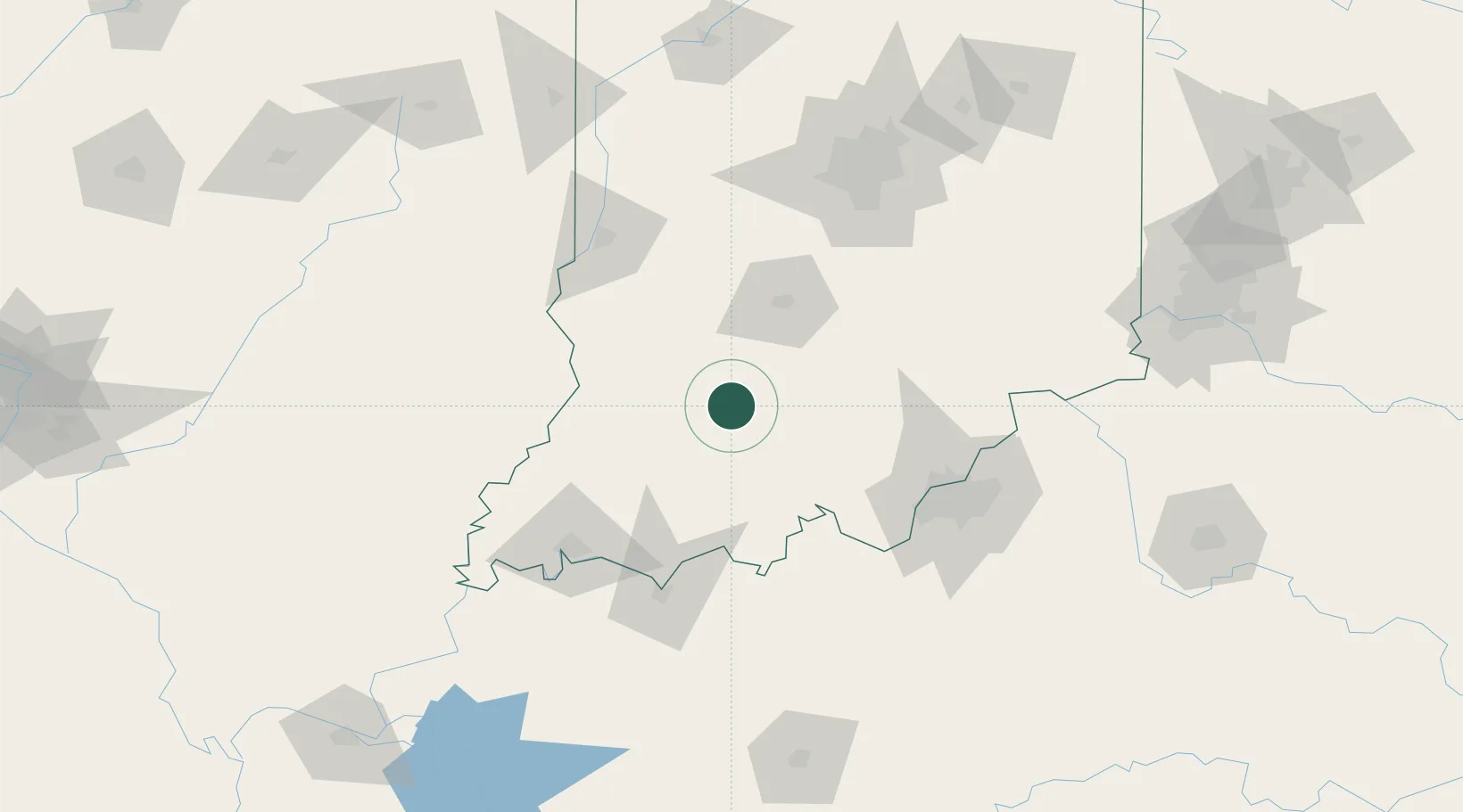
Hub Profile
Place type
Provincial seat
Region
Indiana
Population
782
Time zone
America/Indiana/Vincennes
Elevation
154 m
Location
Nearby Logistics Neighbours
Cities
- 1Loogootee12 km
- 2Paoli30 km
- 3Ireland34 km
- 4Saint Anthony41 km
- 5English46 km
Ports
- 1Gary331 km
- 2Indiana Harbor338 km
- 3Michigan City341 km
- 4Calumet Harbor347 km
- 5Chicago364 km
Airports
Trade Zones
- 1FTZ No. 029 Louisville97 km
- 2FTZ No. 177 Evansville104 km
- 3FTZ No. 072 Indianapolis124 km
- 4FTZ No. 047 Boone County168 km
- 5FTZ No. 046 CIncinnati202 km
DatabookThe Record of Consolidated Knowledge
United States beyond logistics?