UN/LOCODE hub · United States
USNER
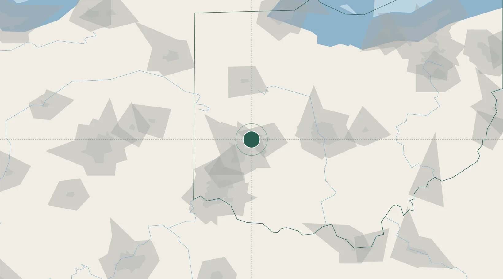
New Carlisle
39.9333°, -84.0167°
5,693
Population
3
Transport functions
Transport Functions
Rail
Road
Multimodal
Hub Profile
Place type
Populated place
Region
Ohio
Population
5,693
Time zone
America/New_York
Elevation
274 m
Location
Nearby Logistics Neighbours
Cities
- 1Enon10 km
- 2Huber Heights14 km
- 3Beavercreek22 km
- 4Englewood25 km
- 5Fletcher26 km
Ports
- 1Port Clinton198 km
- 2Sandusky201 km
- 3Toledo202 km
- 4Huron205 km
- 5Put In Bay216 km
Airports
Trade Zones
- 1FTZ No. 100 Dayton27 km
- 2FTZ No. 054 Clinton County59 km
- 3FTZ No. 138 Franklin County93 km
- 4FTZ No. 046 CIncinnati102 km
- 5FTZ No. 151 Findlay126 km
DatabookThe Record of Consolidated Knowledge
United States beyond logistics?