Transport Functions
Multimodal
Hub Profile
Place type
Populated place
Region
Texas
Time zone
America/Chicago
Elevation
144 m
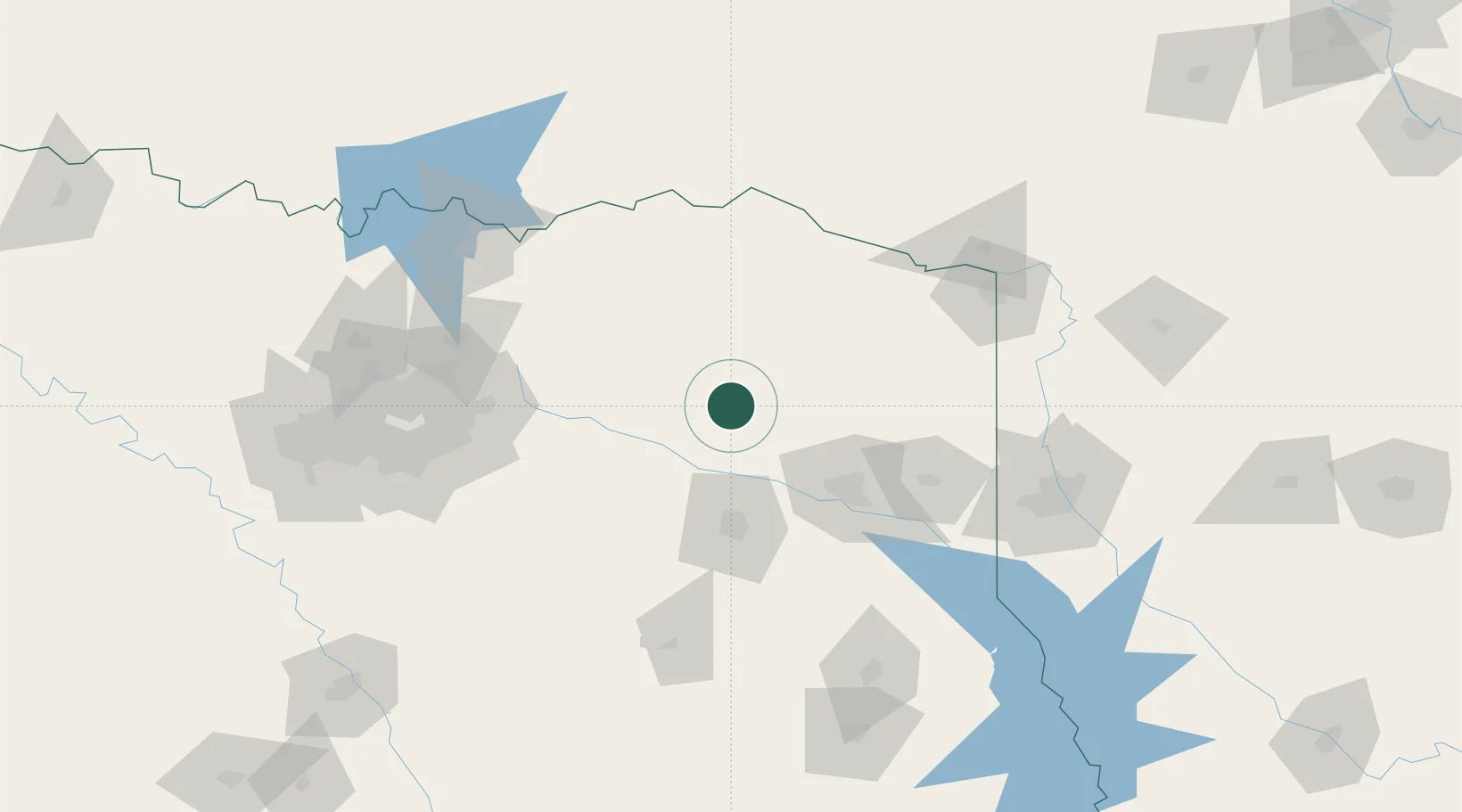
Location
Nearby Logistics Neighbours
Cities
- 1Leesburg23 km
- 2Mount Vernon31 km
- 3Hawkins39 km
- 4Emory41 km
- 5Mount Pleasant43 km
Ports
- 1Beaumont336 km
- 2Orange349 km
- 3Port Neches349 km
- 4Deer Park352 km
- 5Houston352 km
Airports
Trade Zones
- 1FTZ No. 234 Gregg County58 km
- 2FTZ No. 258 Bowie County86 km
- 3FTZ No. 269 Athens96 km
- 4FTZ No. 145 Shreveport137 km
- 5FTZ No. 146 Lawrence County137 km
DatabookThe Record of Consolidated Knowledge
United States beyond logistics?