Transport Functions
Rail
Road
Multimodal
Hub Profile
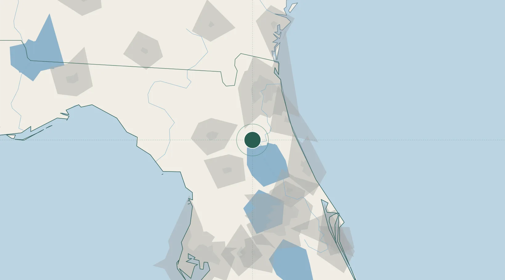
Place type
Populated place
Region
Florida
Time zone
America/New_York
Elevation
24 m
Location
Nearby Logistics Neighbours
Cities
- 1Edgar9 km
- 2Fort McCoy32 km
- 3Elkton40 km
- 4Fleming Island53 km
- 5Saint Johns56 km
Ports
- 1St Augustine56 km
- 2Jacksonville79 km
- 3Mayport94 km
- 4Fernandina Beach123 km
- 5Canaveral Harbor154 km
Airports
Trade Zones
- 1FTZ No. 198 Volusia County74 km
- 2FTZ No. 064 Jacksonville83 km
- 3FTZ No. 250 Seminole County106 km
- 4FTZ No. 042 Orlando129 km
- 5FTZ No. 136 Brevard County155 km
DatabookThe Record of Consolidated Knowledge
United States beyond logistics?