Transport Functions
Road
Multimodal
Hub Profile
Place type
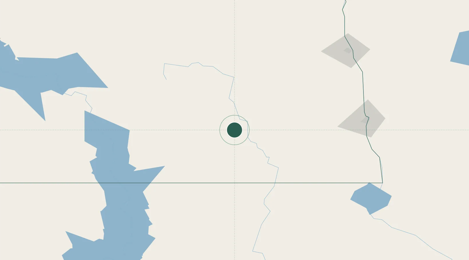
Populated place
Region
North Dakota
Time zone
America/Chicago
Elevation
458 m
Location
Nearby Logistics Neighbours
Cities
- 1Eldridge20 km
- 2Tappen68 km
- 3Lisbon, Ransom89 km
- 4Cooperstown94 km
- 5Gwinner102 km
Ports
- 1Duluth508 km
- 2Superior511 km
- 3Two Harbors542 km
- 4Washburn601 km
- 5Ashland603 km
Airports
- 1Jamestown Regional Airport23 km
- 2Aberdeen Regional Airport145 km
- 3Hector International Airport150 km
- 4Bismarck Municipal Airport151 km
- 5Devils Lake Regional Airport154 km
Trade Zones
- 1FTZ No. 267 Fargo138 km
- 2FTZ No. 103 Grand Forks178 km
- 3Winnipegs Centreport Canada372 km
- 4FTZ No. 259 Koochiching County376 km
- 5FTZ No. 220 Sioux Falls386 km
DatabookThe Record of Consolidated Knowledge
United States beyond logistics?