UN/LOCODE hub · United States
USCW4
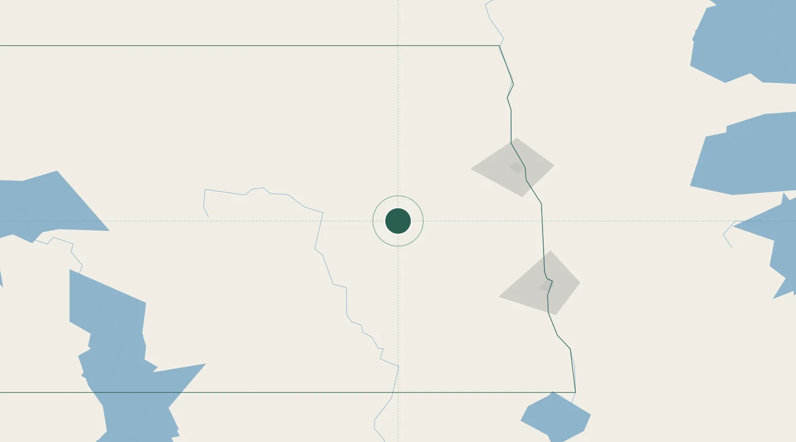
Cooperstown
47.4500°, -98.1167°
945
Population
2
Transport functions
Transport Functions
Road
Multimodal
Hub Profile
Place type
Provincial seat
Region
North Dakota
Population
945
Time zone
America/Chicago
Elevation
437 m
Location
Nearby Logistics Neighbours
Ports
- 1Duluth462 km
- 2Superior465 km
- 3Two Harbors491 km
- 4Washburn555 km
- 5Bayfield557 km
Airports
Trade Zones
- 1FTZ No. 103 Grand Forks88 km
- 2FTZ No. 267 Fargo109 km
- 3Winnipegs Centreport Canada281 km
- 4FTZ No. 259 Koochiching County298 km
- 5FTZ No. 220 Sioux Falls446 km
DatabookThe Record of Consolidated Knowledge
United States beyond logistics?