Transport Functions
Rail
Road
Hub Profile
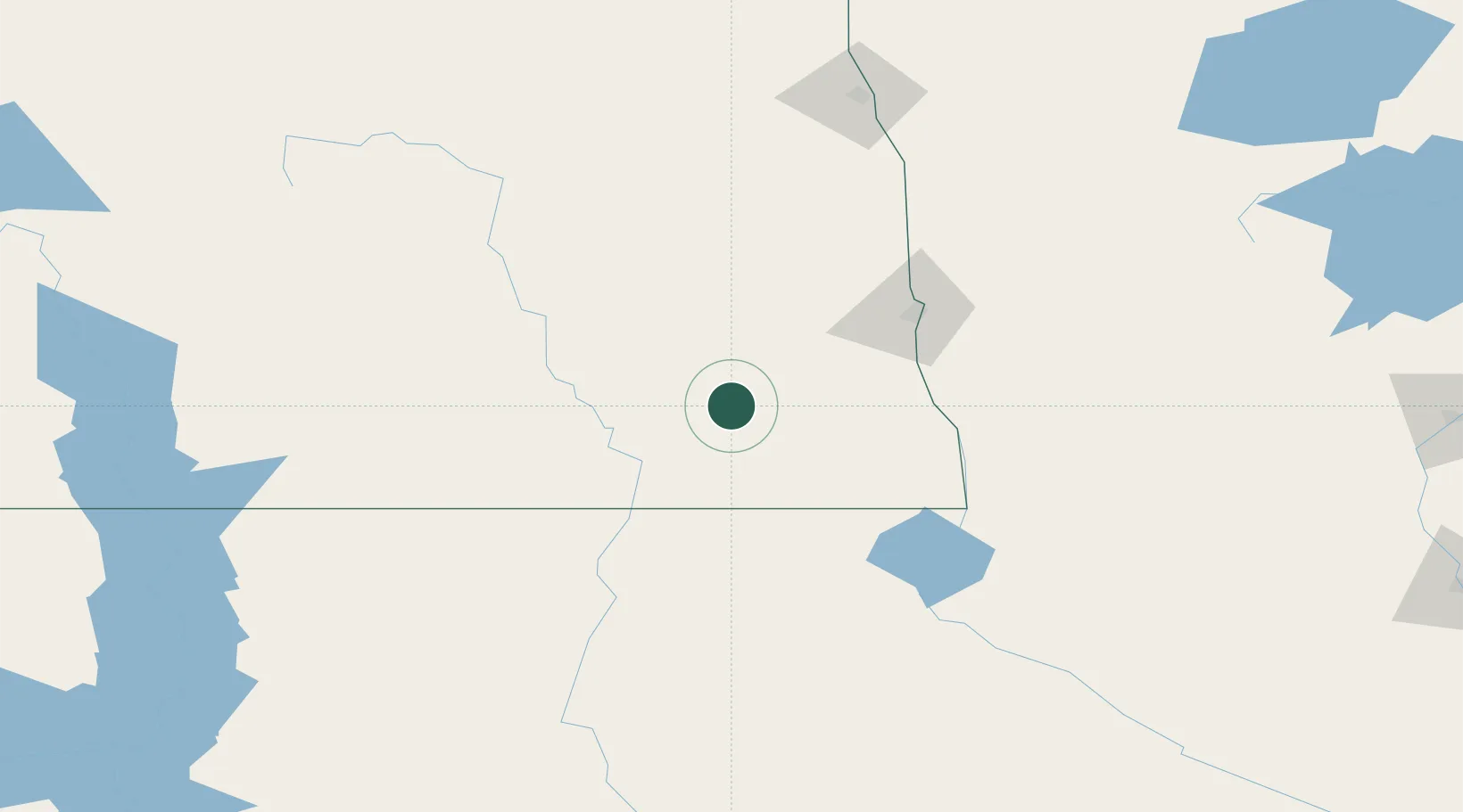
Region
ND
Location
Nearby Logistics Neighbours
Ports
- 1Duluth428 km
- 2Superior431 km
- 3Two Harbors464 km
- 4Washburn521 km
- 5Ashland522 km
Airports
Trade Zones
- 1FTZ No. 267 Fargo72 km
- 2FTZ No. 103 Grand Forks169 km
- 3FTZ No. 259 Koochiching County326 km
- 4FTZ No. 220 Sioux Falls328 km
- 5FTZ No. 119 Minneapolis-St. Paul382 km
DatabookThe Record of Consolidated Knowledge
United States beyond logistics?