Medium airport · United States
Bismarck Municipal AirportKBIS
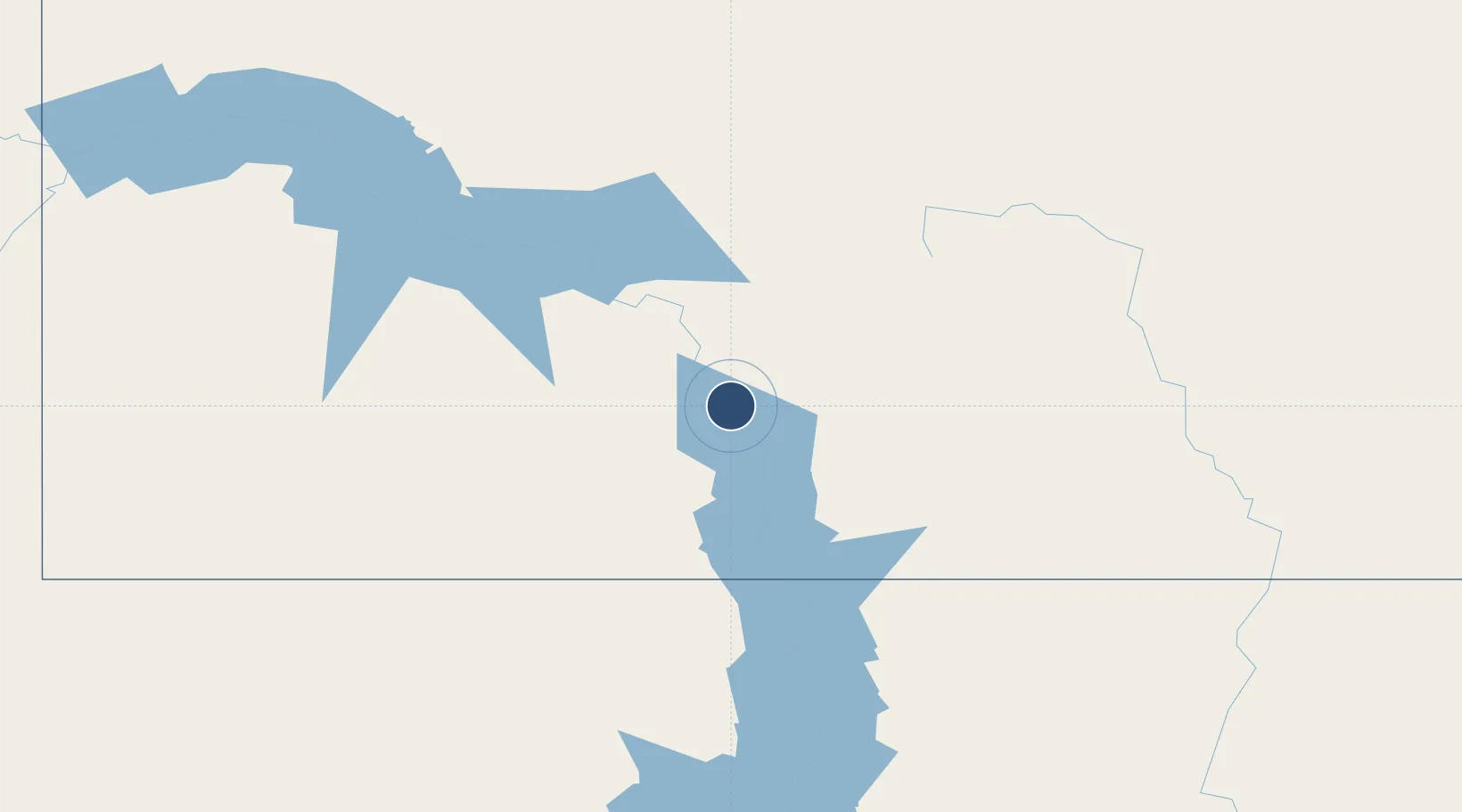
46.7727°, -100.7469°
8,794 ft
Longest runway
2
Runways
1,661 ft
Elevation
Runway & Layout

Radio Frequencies
ATIS
119.35 MHz
TWR
118.3 MHz
GND
121.9 MHz
CTAF
118.3 MHz
A/D
126.3 MHz
APP/DEP
OPS
49.8 MHz
ARNG OPS
RDO
122.2 MHz
GRAND FORKS RDO
UNIC
122.95 MHz
UNICOM
Navaids
BI NDB Jadan 230 kHz
BIS VOR-DME Bismarck 116.50 MHz
Runways · 2
| Runway | Dimensions | Surface | True heading | Lit |
|---|---|---|---|---|
| 13/31 | 8,794 × 150ft | Asphalt | 138° | ✓ |
| 03/21 | 6,600 × 100ft | Asphalt | 039° | ✓ |
Airport Specifications
IATA code
BIS
ICAO code
KBIS
Airport class
Medium airport
Scheduled service
Yes
Runway surface
Asphalt
Served city
Bismarck
Location
Nearby Logistics Neighbours
Airports
Cities
- 1Mandan12 km
- 2Underwood81 km
- 3Glen Ullin83 km
- 4Turtle Lake83 km
- 5Tappen85 km
Ports
- 1Duluth658 km
- 2Superior661 km
- 3Two Harbors691 km
- 4Washburn752 km
- 5Ashland753 km
Trade Zones
- 1FTZ No. 267 Fargo288 km
- 2FTZ No. 103 Grand Forks298 km
- 3Winnipegs Centreport Canada438 km
- 4FTZ No. 220 Sioux Falls474 km
- 5Global Transportation Hub Authority503 km
DatabookThe Record of Consolidated Knowledge
United States beyond logistics?