Transport Functions
Road
Multimodal
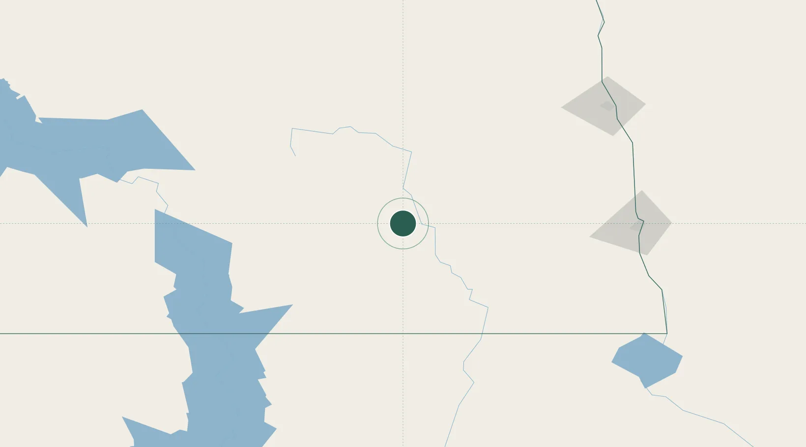
Hub Profile
Place type
Populated place
Region
North Dakota
Time zone
America/Chicago
Elevation
471 m
Location
Nearby Logistics Neighbours
Cities
- 1Sydney20 km
- 2Tappen60 km
- 3Cooperstown83 km
- 4Finley102 km
- 5Lisbon, Ransom103 km
Ports
- 1Duluth514 km
- 2Superior516 km
- 3Two Harbors546 km
- 4Washburn607 km
- 5Ashland609 km
Airports
- 1Jamestown Regional Airport14 km
- 2Devils Lake Regional Airport135 km
- 3Bismarck Municipal Airport145 km
- 4Hector International Airport155 km
- 5Grand Forks Air Force Base161 km
Trade Zones
- 1FTZ No. 267 Fargo143 km
- 2FTZ No. 103 Grand Forks169 km
- 3Winnipegs Centreport Canada356 km
- 4FTZ No. 259 Koochiching County373 km
- 5FTZ No. 220 Sioux Falls406 km
DatabookThe Record of Consolidated Knowledge
United States beyond logistics?