Transport Functions
Road
Multimodal
Hub Profile
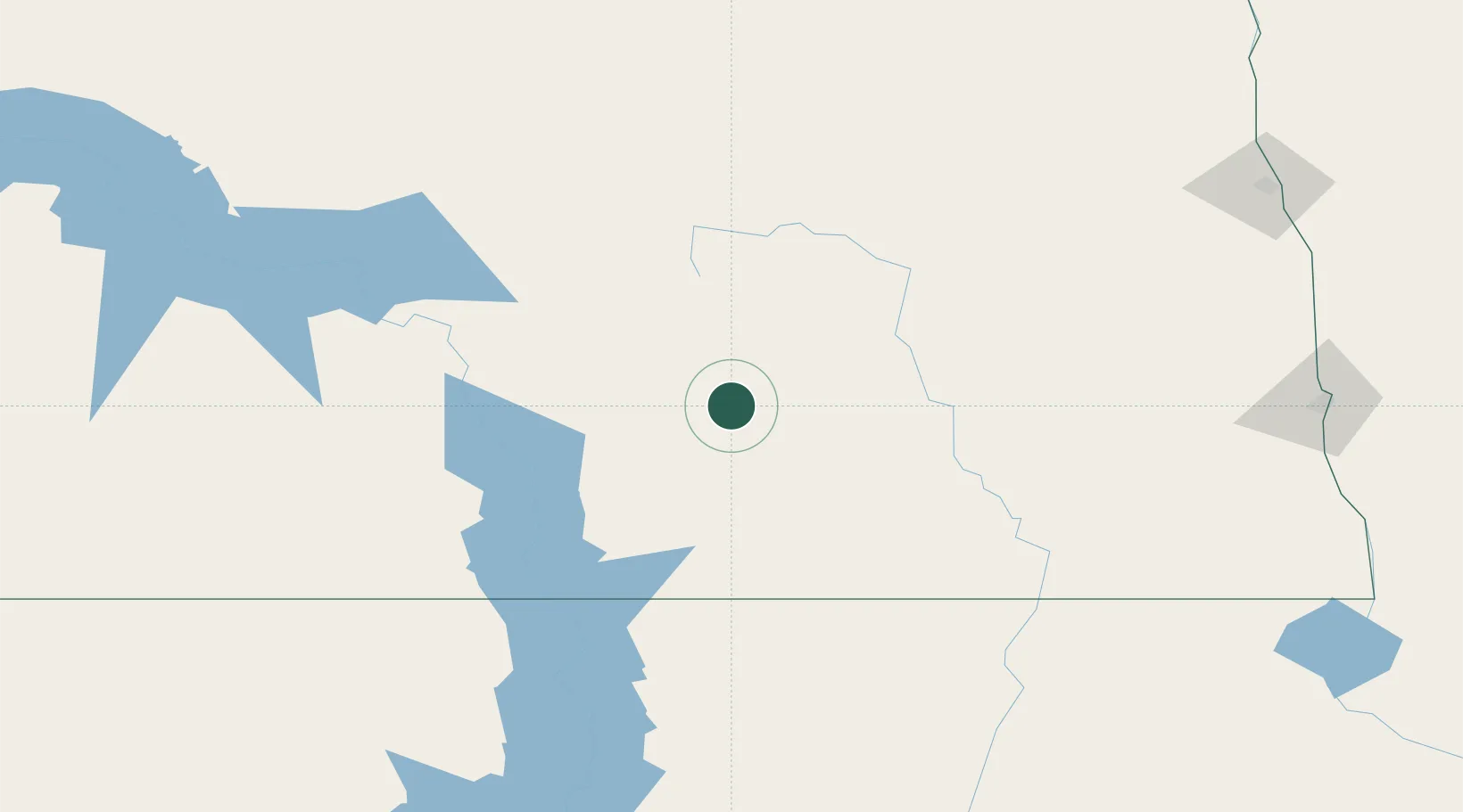
Place type
Populated place
Region
North Dakota
Population
200
Time zone
America/Chicago
Elevation
539 m
Location
Nearby Logistics Neighbours
Cities
- 1Eldridge60 km
- 2Sydney68 km
- 3Mandan95 km
- 4Turtle Lake119 km
- 5Underwood131 km
Ports
- 1Duluth573 km
- 2Superior576 km
- 3Two Harbors606 km
- 4Washburn667 km
- 5Ashland668 km
Airports
- 1Jamestown Regional Airport73 km
- 2Bismarck Municipal Airport85 km
- 3Devils Lake Regional Airport149 km
- 4Mobridge Municipal Airport158 km
- 5Aberdeen Regional Airport183 km
Trade Zones
- 1FTZ No. 267 Fargo203 km
- 2FTZ No. 103 Grand Forks219 km
- 3Winnipegs Centreport Canada384 km
- 4FTZ No. 259 Koochiching County429 km
- 5FTZ No. 220 Sioux Falls431 km
DatabookThe Record of Consolidated Knowledge
United States beyond logistics?