Transport Functions
Port
Rail
Road
Multimodal
Hub Profile
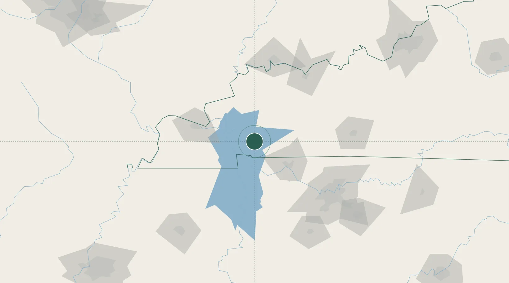
Place type
Provincial seat
Region
Kentucky
Population
2,626
Time zone
America/Chicago
Elevation
129 m
Location
Nearby Logistics Neighbours
Cities
- 1Eddyville33 km
- 2Crofton35 km
- 3Fort Campbell41 km
- 4Fredonia43 km
- 5Benton48 km
Ports
- 1Port Of Memphis291 km
- 2Gary530 km
- 3Indiana Harbor535 km
- 4Calumet Harbor542 km
- 5Michigan City547 km
Airports
Trade Zones
- 1FTZ No. 294 Western Kentucky72 km
- 2FTZ No. 078 Nashville101 km
- 3FTZ No. 177 Evansville127 km
- 4FTZ No. 283 West Tennessee208 km
- 5FTZ No. 029 Louisville236 km
DatabookThe Record of Consolidated Knowledge
United States beyond logistics?