Transport Functions
Rail
Road
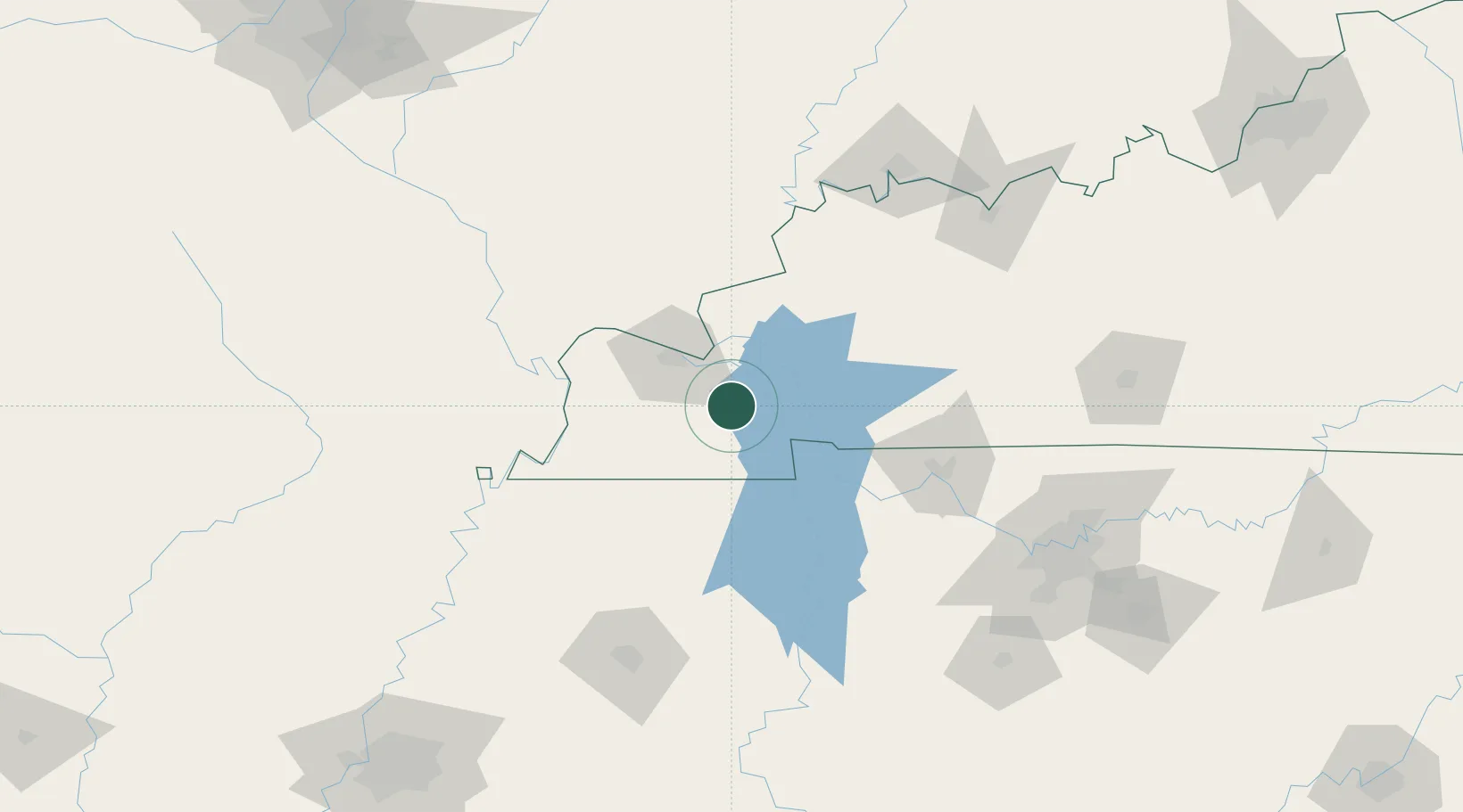
Hub Profile
Place type
Provincial seat
Region
Kentucky
Population
4,357
Time zone
America/Chicago
Elevation
130 m
Location
Nearby Logistics Neighbours
Cities
- 1Symsonia17 km
- 2Calvert City22 km
- 3Farmington25 km
- 4Paducah33 km
- 5Kansas35 km
Ports
- 1Port Of Memphis257 km
- 2Gary537 km
- 3Indiana Harbor541 km
- 4Calumet Harbor548 km
- 5Michigan City557 km
Airports
Trade Zones
- 1FTZ No. 294 Western Kentucky32 km
- 2FTZ No. 078 Nashville137 km
- 3FTZ No. 177 Evansville143 km
- 4FTZ No. 283 West Tennessee170 km
- 5FTZ No. 223 Memphis248 km
DatabookThe Record of Consolidated Knowledge
United States beyond logistics?