Medium airport · United States
Barkley Regional AirportKPAH
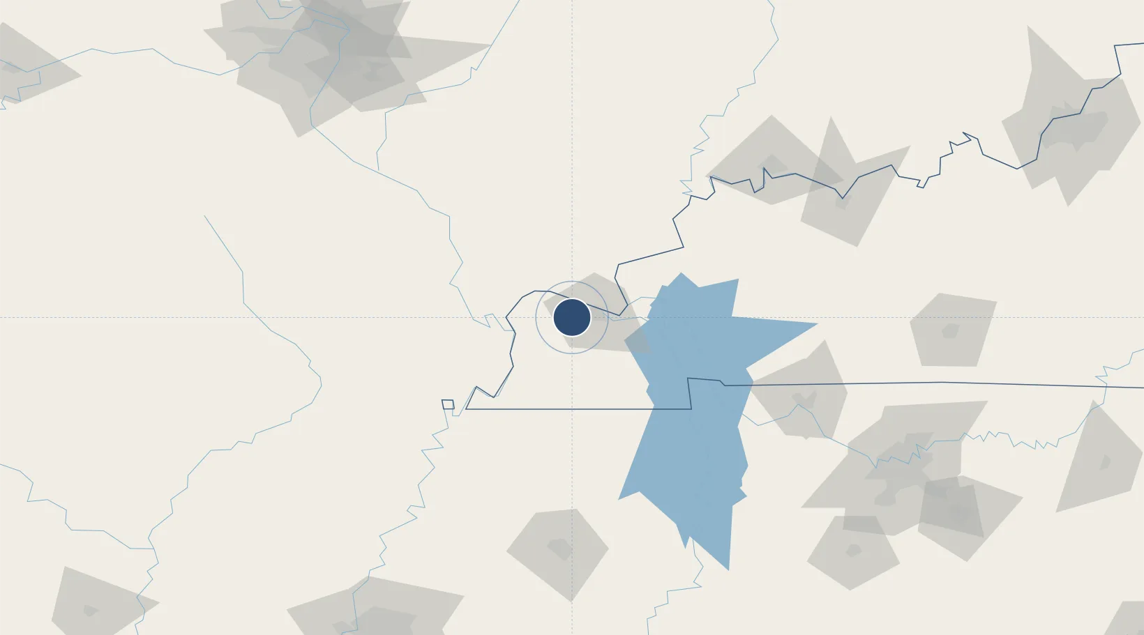
37.0608°, -88.7738°
6,499 ft
Longest runway
2
Runways
410 ft
Elevation
Runway & Layout

Radio Frequencies
ASOS
118.375 MHz
TWR
119.6 MHz
PADUCAH TWR
GND
121.7 MHz
CTAF
119.6 MHz
CNTR
133.65 MHz
MEMPHIS CNTR
RDO
122.2 MHz
LOUISVILLE RDO
UNIC
123 MHz
UNICOM
Navaids
BDD NDB Bellgrade 254 kHz
CNG VORTAC Cunningham 113.10 MHz
Runways · 2
| Runway | Dimensions | Surface | True heading | Lit |
|---|---|---|---|---|
| 04/22 | 6,499 × 150ft | Asphalt | 044° | ✓ |
| 14/32 | 5,499 × 150ft | Asphalt | 139° | ✓ |
Airport Specifications
IATA code
PAH
ICAO code
KPAH
Airport class
Medium airport
Scheduled service
Yes
Runway surface
Asphalt
Served city
Paducah
Location
Nearby Logistics Neighbours
Airports
Cities
- 1Paducah15 km
- 2Joppa17 km
- 3Kansas18 km
- 4Symsonia28 km
- 5Calvert City37 km
Ports
- 1Port Of Memphis255 km
- 2Gary522 km
- 3Indiana Harbor525 km
- 4Calumet Harbor531 km
- 5Michigan City544 km
Trade Zones
- 1FTZ No. 294 Western Kentucky17 km
- 2FTZ No. 177 Evansville146 km
- 3FTZ No. 283 West Tennessee167 km
- 4FTZ No. 078 Nashville181 km
- 5FTZ No. 031 Granite City225 km
DatabookThe Record of Consolidated Knowledge
United States beyond logistics?