UN/LOCODE hub · United States
USEDV
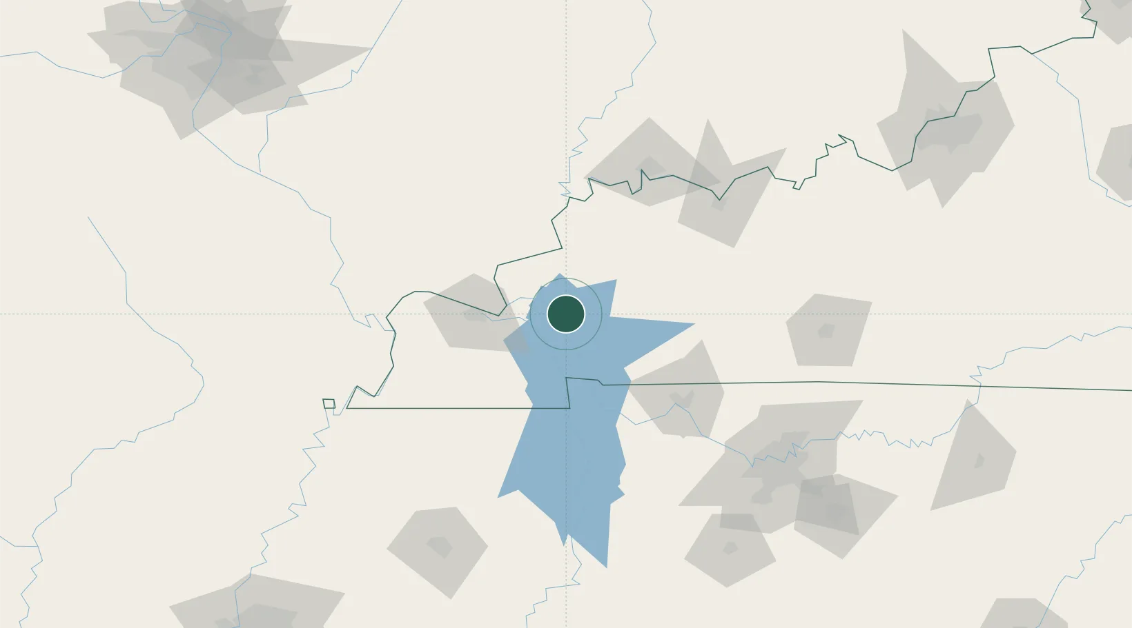
Eddyville
37.0833°, -88.0667°
2,577
Population
4
Transport functions
Transport Functions
Port
Rail
Road
Multimodal
Hub Profile
Place type
Provincial seat
Region
Kentucky
Population
2,577
Time zone
America/Chicago
Elevation
155 m
Location
Nearby Logistics Neighbours
Cities
- 1Fredonia13 km
- 2Calvert City26 km
- 3Cadiz33 km
- 4Benton36 km
- 5Symsonia44 km
Ports
- 1Port Of Memphis293 km
- 2Gary508 km
- 3Indiana Harbor513 km
- 4Calumet Harbor519 km
- 5Michigan City527 km
Airports
Trade Zones
- 1FTZ No. 294 Western Kentucky46 km
- 2FTZ No. 177 Evansville109 km
- 3FTZ No. 078 Nashville134 km
- 4FTZ No. 283 West Tennessee207 km
- 5FTZ No. 031 Granite City263 km
DatabookThe Record of Consolidated Knowledge
United States beyond logistics?