UN/LOCODE hub · United States
USHMM

Hammond

44.9667°, -92.4333°
1,898
Population
3
Transport functions

Transport Functions

Rail
Road
Multimodal
UN/LOCODE

Hub Profile

Place type
Populated place
GeoNames
Region
Wisconsin
GeoNames
Population
1,898
GeoNames
Time zone
America/Chicago
GeoNames
Elevation
354 m
GeoNames

Location

Location of USHMM
Natural Earth 10m (public domain) · Wisconsin · USHMM · 44.97, -92.43GoogleOSMYandex

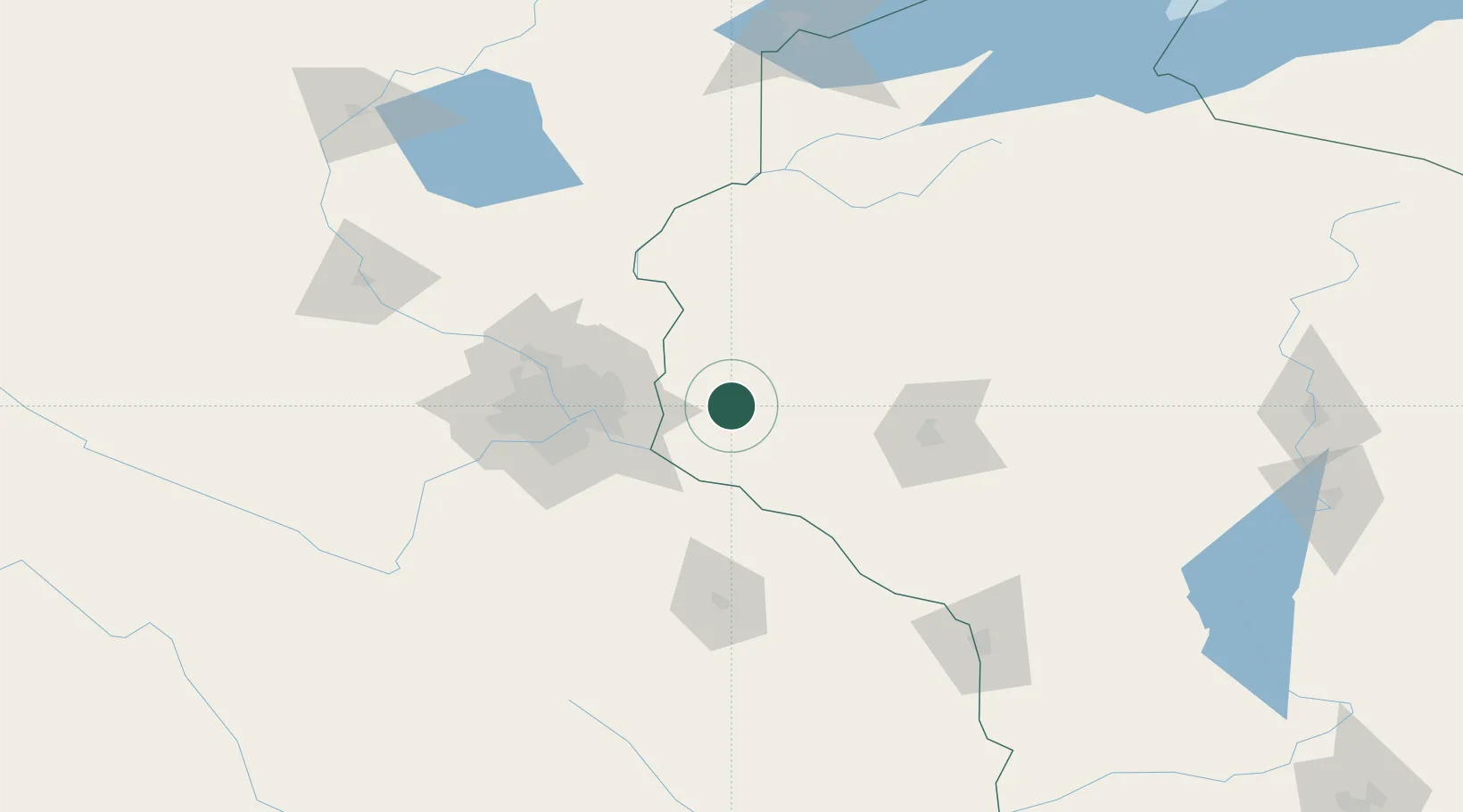
Nearby Logistics Neighbours

Cities
  1. 1Baldwin5 km
  2. 2Roberts9 km
  3. 3Somerset25 km
  4. 4Oak Park Heights29 km
  5. 5Knapp29 km
Nearest neighbours — logibook spatial index (haversine) over the source coordinates
Ports
  1. 1Superior199 km
  2. 2Duluth202 km
  3. 3Ashland219 km
  4. 4Washburn224 km
  5. 5Two Harbors236 km
Nearest neighbours — logibook spatial index (haversine) over the source coordinates
Trade Zones
  1. 1FTZ No. 119 Minneapolis-St. Paul63 km
  2. 2FTZ No. 051 Duluth201 km
  3. 3FTZ No. 266 Dane County304 km
  4. 4FTZ No. 167 Brown County333 km
  5. 5FTZ No. 175 Cedar Rapids338 km
Nearest neighbours — logibook spatial index (haversine) over the source coordinates
DatabookThe Record of Consolidated Knowledge
United States beyond logistics?
Browse databook

All Sources

LocationsUN/LOCODE
UN/LOCODE — free
LocationsGeoNames
CC BY 4.0
Portsthe NGA World Port Index
Public domain (US gov)
AirportsOurAirports
Public domain
Trade Zonesthe World Bank SEZ database
CC BY 4.0
Trade ZonesOpen Zone Map
CC BY
← United States locations