UN/LOCODE hub · United States
USBPS
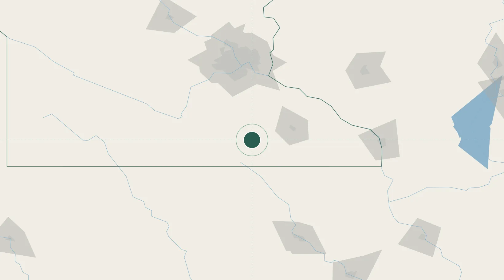
Blooming Prairie
43.8667°, -93.0500°
1,993
Population
3
Transport functions
Transport Functions
Rail
Road
Multimodal
Hub Profile
Place type
Populated place
Region
Minnesota
Population
1,993
Time zone
America/Chicago
Elevation
394 m
Location
Nearby Logistics Neighbours
Cities
- 1Hope20 km
- 2Kasson31 km
- 3Hartland36 km
- 4Byron37 km
- 5Stewartville46 km
Ports
- 1Superior328 km
- 2Duluth331 km
- 3Ashland349 km
- 4Washburn355 km
- 5Two Harbors367 km
Airports
Trade Zones
- 1FTZ No. 119 Minneapolis-St. Paul124 km
- 2FTZ No. 175 Cedar Rapids235 km
- 3FTZ No. 107 Polk County250 km
- 4FTZ No. 288 Northwest Iowa256 km
- 5FTZ No. 266 Dane County284 km
DatabookThe Record of Consolidated Knowledge
United States beyond logistics?