UN/LOCODE hub · United States
USSV7
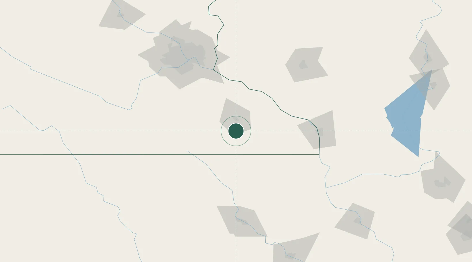
Stewartville
43.8500°, -92.4833°
6,037
Population
2
Transport functions
Transport Functions
Road
Multimodal
Hub Profile
Place type
Populated place
Region
Minnesota
Population
6,037
Time zone
America/Chicago
Elevation
374 m
Location
Nearby Logistics Neighbours
DatabookThe Record of Consolidated Knowledge
United States beyond logistics?