Transport Functions
Port
Rail
Road
Multimodal
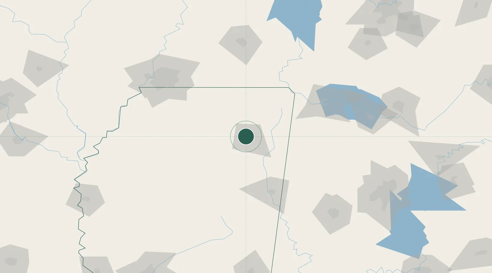
Hub Profile
Place type
Populated place
Region
Mississippi
Time zone
America/Chicago
Elevation
106 m
Location
Nearby Logistics Neighbours
Cities
- 1Furrs11 km
- 2Plantersville17 km
- 3Centerville24 km
- 4Mantachie28 km
- 5Hickory Flat, Chicasaw33 km
Ports
- 1Port Of Memphis153 km
- 2Mobile407 km
- 3Biloxi436 km
- 4Pascagoula440 km
- 5Gulfport440 km
Airports
Trade Zones
- 1FTZ No. 262 Southaven135 km
- 2FTZ No. 223 Memphis152 km
- 3FTZ No. 273 West Memphis159 km
- 4FTZ No. 077 Memphis163 km
- 5FTZ No. 265 Conroe (Montgomery County)172 km
DatabookThe Record of Consolidated Knowledge
United States beyond logistics?