UN/LOCODE hub · United States
USATI
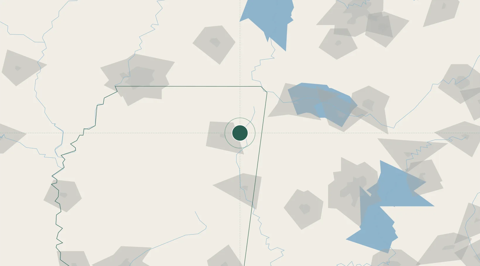
Mantachie
34.3167°, -88.4833°
1,138
Population
2
Transport functions
Transport Functions
Road
Multimodal
Hub Profile
Place type
Populated place
Region
Mississippi
Population
1,138
Time zone
America/Chicago
Elevation
105 m
Location
Nearby Logistics Neighbours
Cities
- 1Centerville7 km
- 2Plantersville20 km
- 3Oakland25 km
- 4Belden28 km
- 5Furrs36 km
Ports
- 1Port Of Memphis175 km
- 2Mobile406 km
- 3Biloxi439 km
- 4Pascagoula441 km
- 5Gulfport445 km
Airports
Trade Zones
- 1FTZ No. 265 Conroe (Montgomery County)145 km
- 2FTZ No. 270 Lawrence County148 km
- 3FTZ No. 262 Southaven158 km
- 4FTZ No. 083 Huntsville162 km
- 5FTZ No. 223 Memphis174 km
DatabookThe Record of Consolidated Knowledge
United States beyond logistics?