Transport Functions
Road
Multimodal
Hub Profile
Place type
Populated place
Region
Mississippi
Time zone
America/Chicago
Elevation
104 m
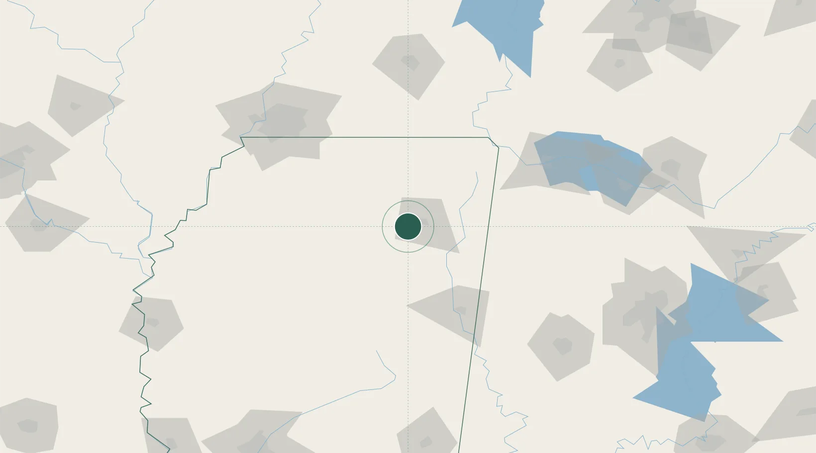
Location
Nearby Logistics Neighbours
Cities
- 1Belden11 km
- 2Plantersville20 km
- 3Hickory Flat, Chicasaw24 km
- 4Centerville34 km
- 5Mantachie36 km
Ports
- 1Port Of Memphis151 km
- 2Mobile401 km
- 3Biloxi428 km
- 4Gulfport432 km
- 5Pascagoula433 km
Airports
Trade Zones
- 1FTZ No. 262 Southaven133 km
- 2FTZ No. 223 Memphis151 km
- 3FTZ No. 273 West Memphis158 km
- 4FTZ No. 077 Memphis161 km
- 5FTZ No. 287 Tunica County172 km
DatabookThe Record of Consolidated Knowledge
United States beyond logistics?