UN/LOCODE hub · United States
USZRN
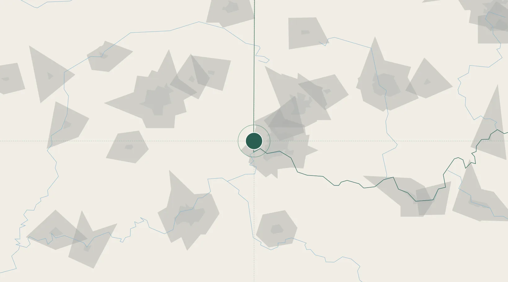
Harrison
39.2500°, -84.8167°
9,897
Population
3
Transport functions
Transport Functions
Rail
Road
Multimodal
Hub Profile
Place type
Populated place
Region
Ohio
Population
9,897
Time zone
America/New_York
Elevation
159 m
Location
Nearby Logistics Neighbours
Cities
- 1West Harrison2 km
- 2Okeana12 km
- 3North Bend13 km
- 4North College Hill23 km
- 5Aurora23 km
Ports
- 1Toledo295 km
- 2Port Clinton298 km
- 3Sandusky303 km
- 4Huron307 km
- 5Put In Bay316 km
Airports
Trade Zones
- 1FTZ No. 046 CIncinnati31 km
- 2FTZ No. 047 Boone County33 km
- 3FTZ No. 100 Dayton76 km
- 4FTZ No. 054 Clinton County91 km
- 5FTZ No. 029 Louisville139 km
DatabookThe Record of Consolidated Knowledge
United States beyond logistics?