UN/LOCODE hub · United States
USWJH
West Harrison
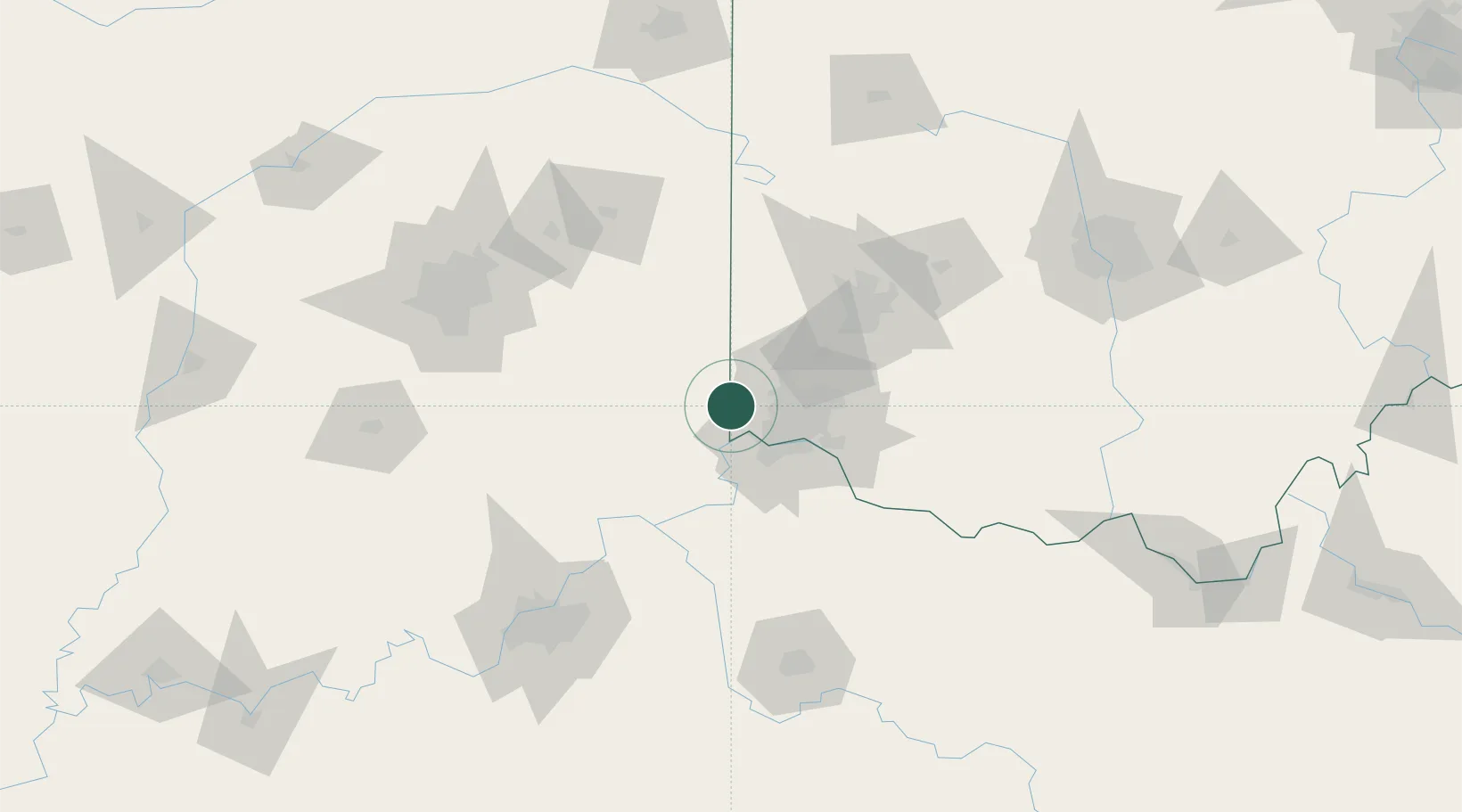
39.2667°, -84.8167°
284
Population
2
Transport functions
Transport Functions
Rail
Road
Hub Profile
Place type
Populated place
Region
Indiana
Population
284
Time zone
America/New_York
Elevation
158 m
Location
Nearby Logistics Neighbours
Cities
- 1Harrison2 km
- 2Okeana10 km
- 3North Bend14 km
- 4Brooksville23 km
- 5North College Hill24 km
Ports
- 1Toledo294 km
- 2Port Clinton297 km
- 3Sandusky301 km
- 4Huron305 km
- 5Put In Bay314 km
Airports
Trade Zones
- 1FTZ No. 046 CIncinnati32 km
- 2FTZ No. 047 Boone County34 km
- 3FTZ No. 100 Dayton75 km
- 4FTZ No. 054 Clinton County90 km
- 5FTZ No. 072 Indianapolis138 km
DatabookThe Record of Consolidated Knowledge
United States beyond logistics?