Transport Functions
Multimodal
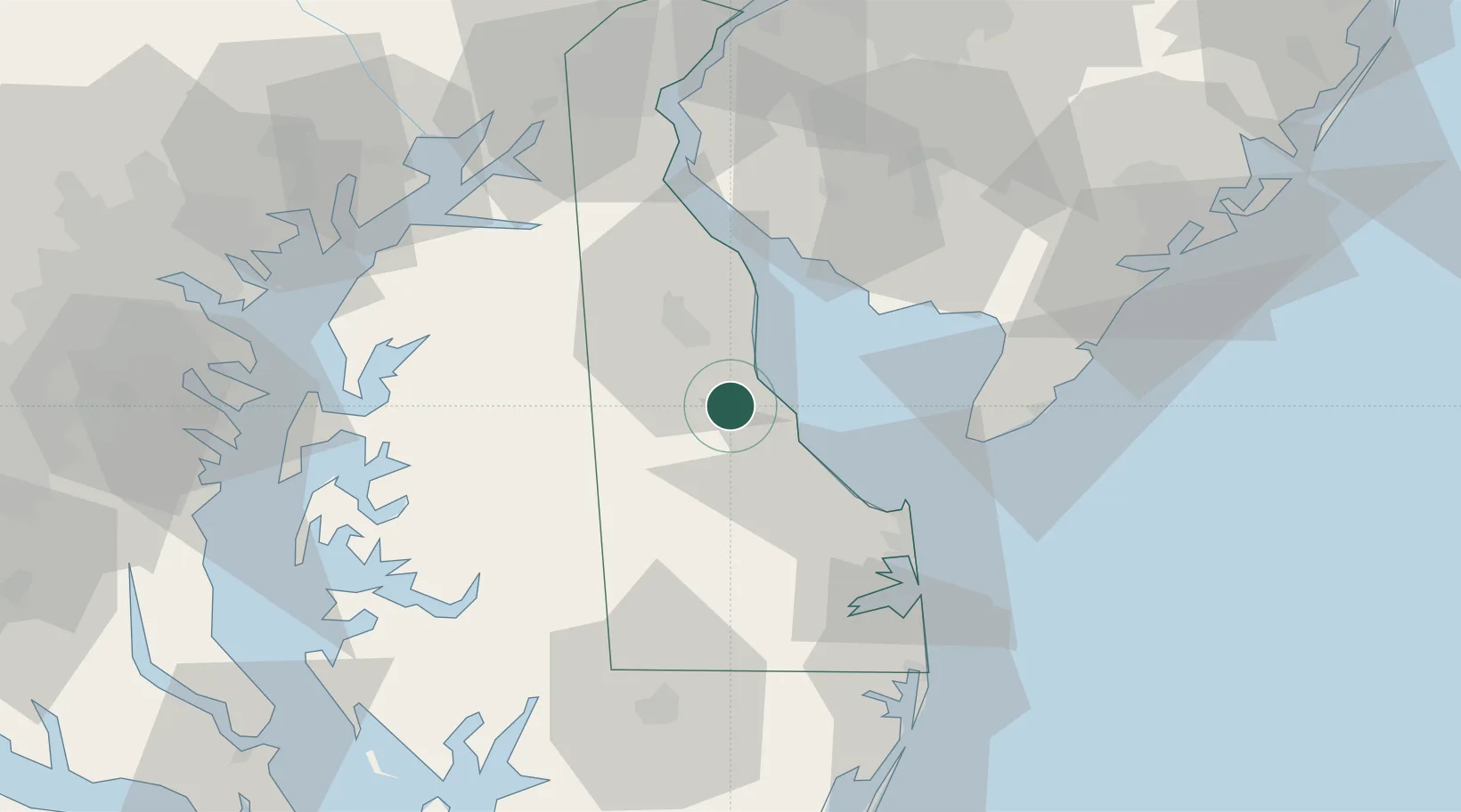
Hub Profile
Place type
Populated place
Region
Delaware
Population
825
Time zone
America/New_York
Elevation
5 m
Location
Nearby Logistics Neighbours
Cities
- 1Big Stone12 km
- 2Camden15 km
- 3Wyoming16 km
- 4Greenwood26 km
- 5Ocean View27 km
Ports
- 1Salisbury72 km
- 2New Castle73 km
- 3Salem Nj74 km
- 4Deepwater Point78 km
- 5Havre De Grace81 km
Airports
Trade Zones
- 1FTZ No. 142 Salem Millville52 km
- 2FTZ No. 099 Wilmington83 km
- 3FTZ No. 074 Baltimore104 km
- 4FTZ No. 073 BWI Airport107 km
- 5FTZ No. 035 Philadelphia113 km
DatabookThe Record of Consolidated Knowledge
United States beyond logistics?