Transport Functions
Port
Road
Multimodal
Hub Profile
Region
NY
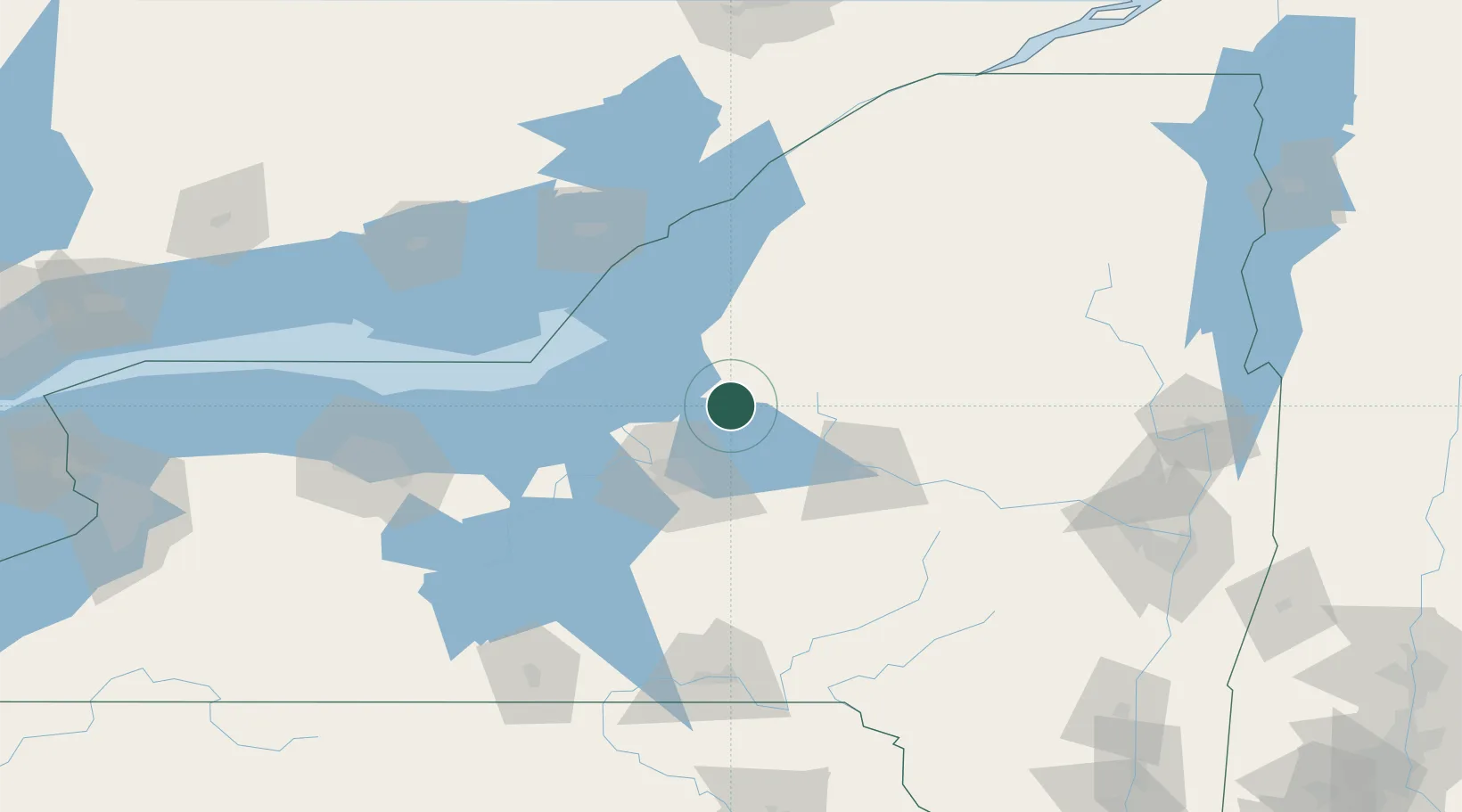
Location
Nearby Logistics Neighbours
Cities
- 1Williamstown0 km
- 2Whitmore Lake1 km
- 3Camden15 km
- 4Parish20 km
- 5Greenboro24 km
Ports
- 1Oswego51 km
- 2Sodus Bay91 km
- 3Clayton92 km
- 4Wolfe Island98 km
- 5Alexandria Bay102 km
Airports
Trade Zones
- 1FTZ No. 172 Oneida County24 km
- 2FTZ No. 090 Onondaga54 km
- 3FTZ No. 109 Watertown63 km
- 4FTZ No. 118 Ogdensburg147 km
- 5FTZ No. 289 Ontario County153 km
DatabookThe Record of Consolidated Knowledge
United States beyond logistics?