Transport Functions
Rail
Road
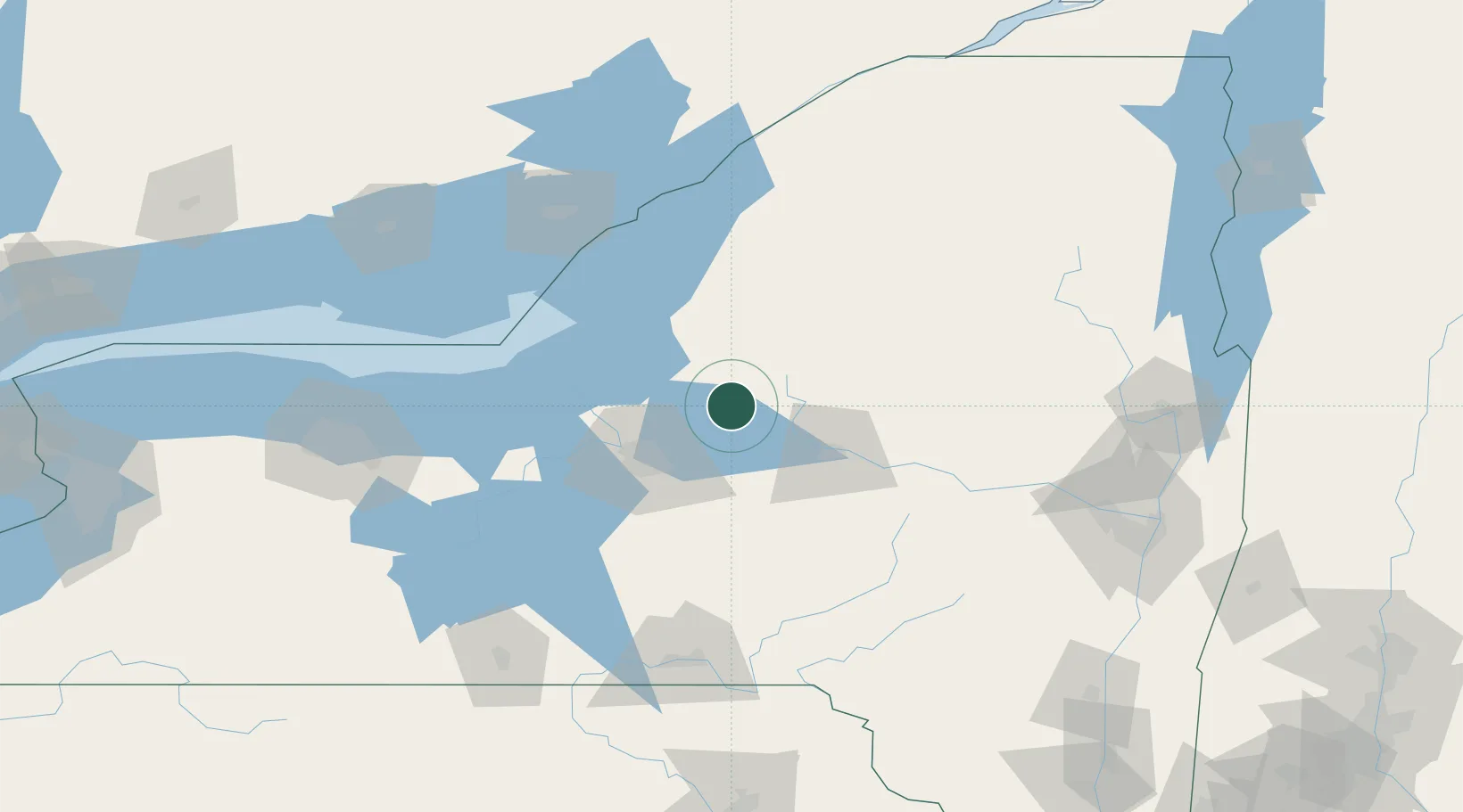
Hub Profile
Place type
Populated place
Region
New York
Population
2,202
Time zone
America/New_York
Elevation
153 m
Location
Nearby Logistics Neighbours
Cities
- 1Willianstown15 km
- 2Williamstown15 km
- 3Whitmore Lake16 km
- 4Bridgeport28 km
- 5Riverdale30 km
Ports
- 1Oswego65 km
- 2Sodus Bay101 km
- 3Clayton103 km
- 4Wolfe Island112 km
- 5Alexandria Bay112 km
Airports
Trade Zones
- 1FTZ No. 172 Oneida County27 km
- 2FTZ No. 090 Onondaga67 km
- 3FTZ No. 109 Watertown74 km
- 4FTZ No. 118 Ogdensburg154 km
- 5FTZ No. 289 Ontario County160 km
DatabookThe Record of Consolidated Knowledge
United States beyond logistics?